More Information
This is a fine 1751 map of the Dauphine region of France by Robert de Vaugondy. It covers the southeastern region of France from Rossilon south to Guillaumes and from Privas east as far as Susa, Italy. The map includes the whole or parts of the departments of Drome, Isere, Savoie and hautes-Alpes and renders the entire region in extraordinary detail offering both topographical and political information with forests and mountains beautifully rendered in profile.
This region, known as the playground of Europe's elite, is admired for its stunning natural beauty, distinctive culture, superb cuisine, delightful beaches, and fantastic wines. Isere is known for its production of Bleu du Vercors-Sassenage, a mild cow's milk blue cheese, and Saint-Marcellin, a softer cheese, while Drome s famous for its production of Picodon, a spicy goats-milk cheese. The Hautes Alpes area of France is known for its production of Coteauin x and Collines Rhodaniennes wines, and is also famous for its chestnuts.
The map includes a beautifully engraved title cartouche in the top left quadrant. This map was drawn by Robert de Vaugondy in 1751 and published in the 1757 issue of his Atlas Universal.
Related Products
What our customers are saying
What is Infinity Framing?

Wow Factor
Infinity frame
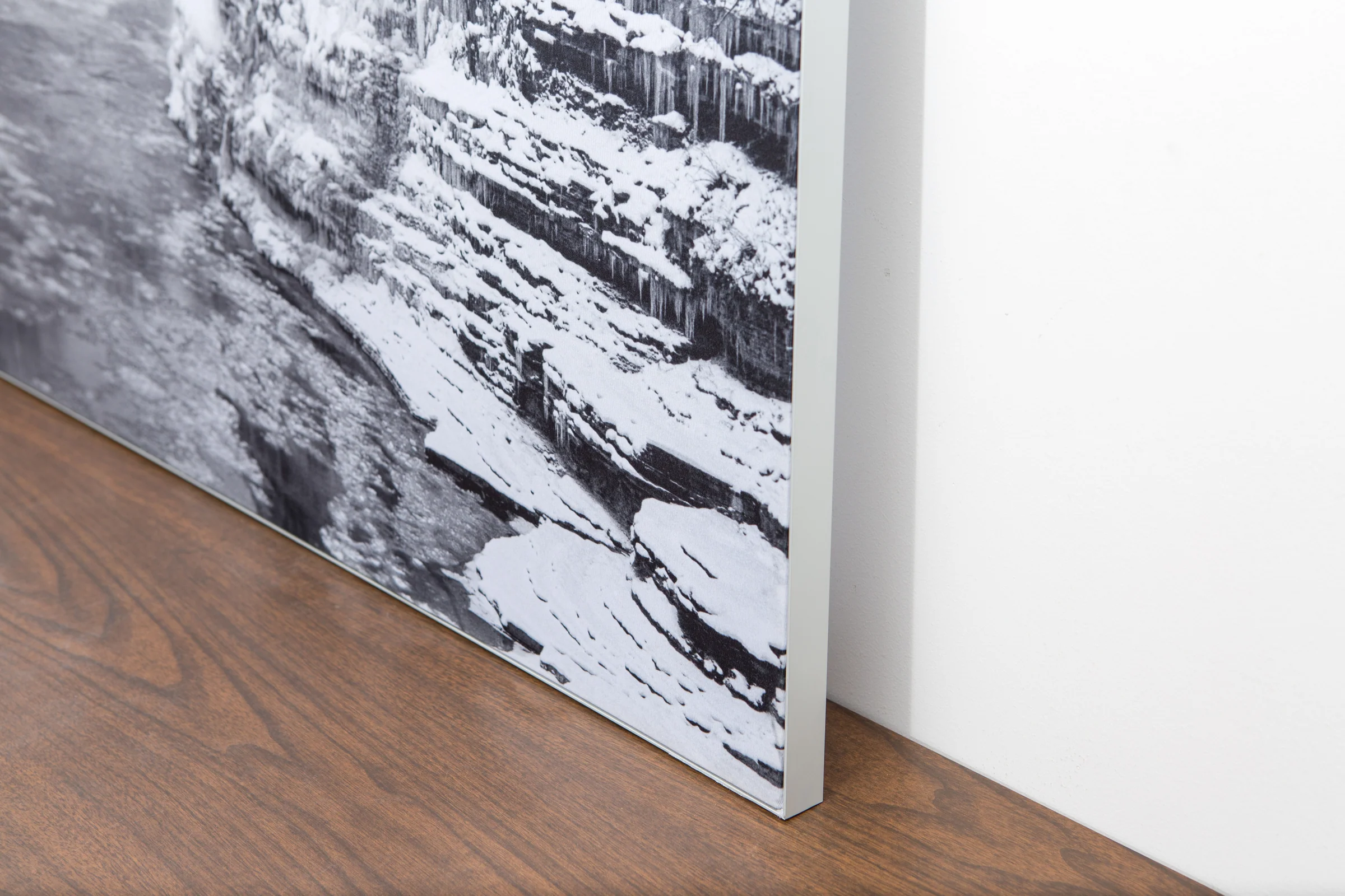
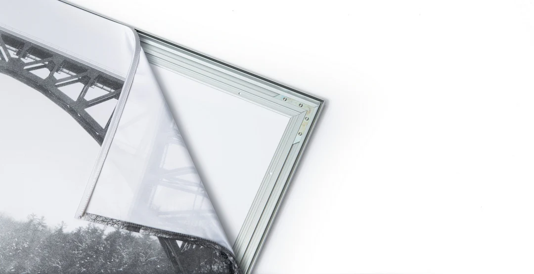
The image is printed on a durable fabric, which is stretched inside a slim aluminum frame. It’s transportable, interchangeable, and easy to assemble. Our infinity frame pieces for large sized prints will lend a “wow” factor to your space.

Better than Canvas
The colors in our fabric prints are crisp and true to life, with a matte, glare-free finish. With our printing process, the colors permeate the fabric, rather than settling on top, which reduces the risk of scratching or fading. Your art will last a long time!

Easy to Install
Assemble the frame in minutes, insert the fabric print into the grooves, and your art is ready to hang!

Statement Piece
Easy and modern way to display large art in your home or office


