More Information
This is a scarce map of the Crimean Peninsula by little known American map publisher Charles Desilver. It depicts the Crimean Peninsula during the Crimean War. This highly detailed map notes military and carriage roads throughout with distances. Towns, fortifications, lighthouses, postal stations, as well as topography are shown. An inset in the top right quadrant features the relative position of Crimea with the seat of war. Another inset in the lower right quadrant features the Sebastopol Harbor.
Sebastopol's place in history was cemented during the Crimean War. Seeking to punish Russia for its imperialistic designs on the Balkans Napoleon III and his allies, the English and Turks, invaded the peninsula, quickly taking Balaklava. The high point of the war was the legendary and disastrous 'Charge of the Light Brigade' wherean entire British Calvary unit charged to its death against a fortified Russian position.
The plate was originally published by Samuel Augustus Mitchell, who sold the copyright to Thomas, Cowperthwait and Company in 1850. Charles Desilver in turn bought them in 1856. This map was issued in the 1856 edition of Desilver's New Universal Atlas.
Related Products
What our customers are saying
What is Infinity Framing?

Wow Factor
Infinity frame
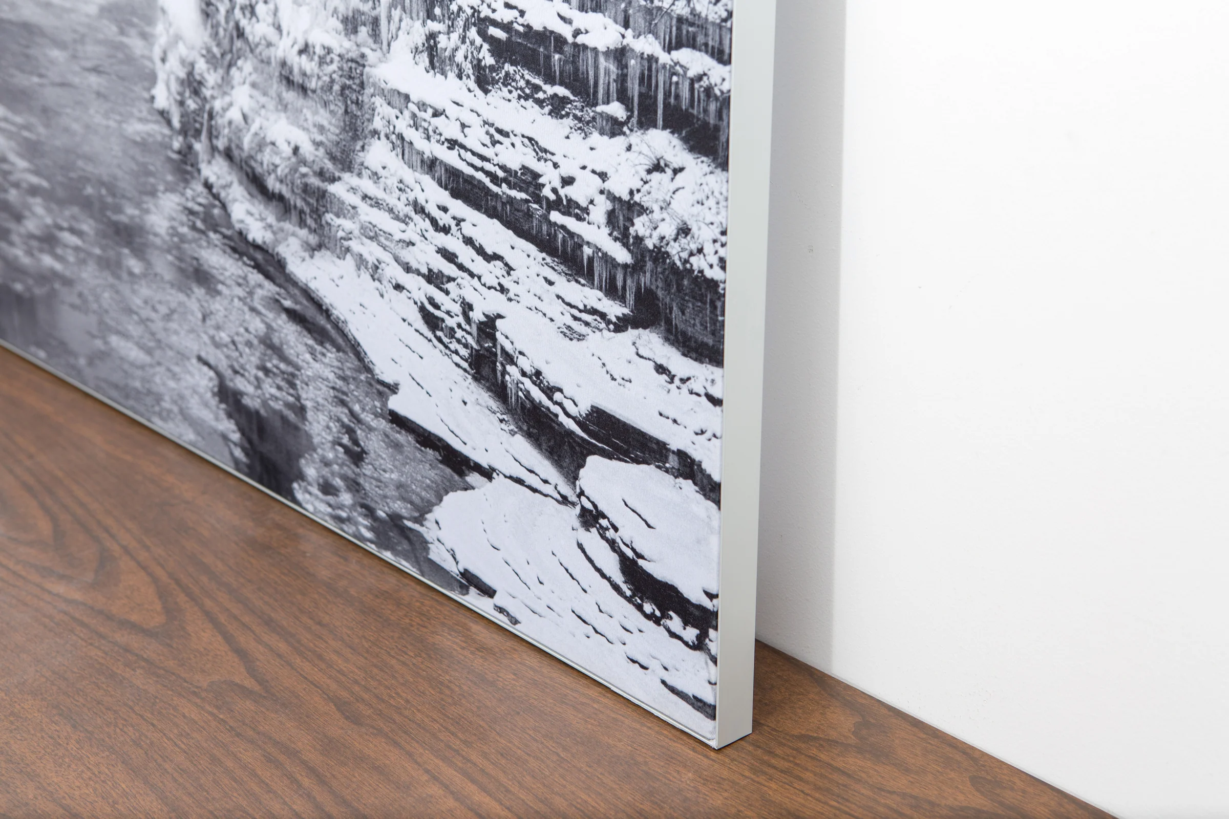
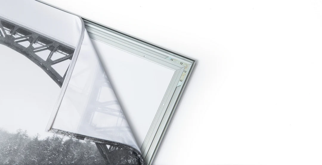
The image is printed on a durable fabric, which is stretched inside a slim aluminum frame. It’s transportable, interchangeable, and easy to assemble. Our infinity frame pieces for large sized prints will lend a “wow” factor to your space.

Better than Canvas
The colors in our fabric prints are crisp and true to life, with a matte, glare-free finish. With our printing process, the colors permeate the fabric, rather than settling on top, which reduces the risk of scratching or fading. Your art will last a long time!

Easy to Install
Assemble the frame in minutes, insert the fabric print into the grooves, and your art is ready to hang!

Statement Piece
Easy and modern way to display large art in your home or office


