More Information
One of the most beautiful maps of the Hawaiian Islands ever produced. A stunning large format Japanese map of Hawaiian Island group dating to World War II. Covers the entirety of the Hawaiian Islands with a large inset city plan of Honolulu in the lower left quadrant. Another inset in the upper right quadrant shows the Hawaiian Islands relative to other Pacific Islands in the greater vicinity. Offers superb detail regarding both topographical and political elements. Notes cities, roads, trade routes on air, sea and land, and uses shading to display oceanic depths. Scale of 1:85,000. All text in Japanese. This map was created as part of a 20 piece series of folding maps of parts of Asia and the Pacific prepared by the Japanese during World War II. This map is no. 18 in that series.
Related Products
What our customers are saying
What is Infinity Framing?

Wow Factor
Infinity frame
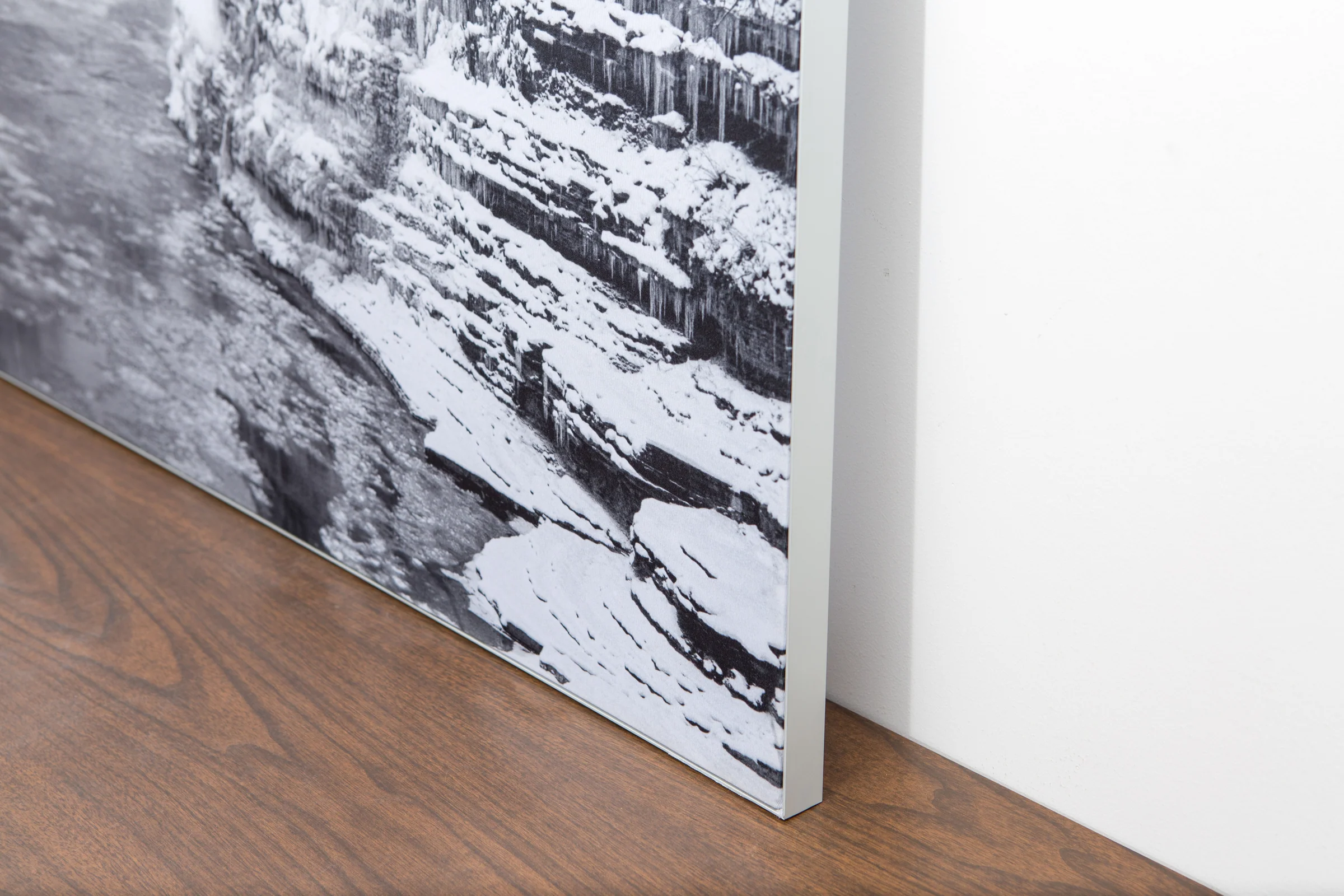
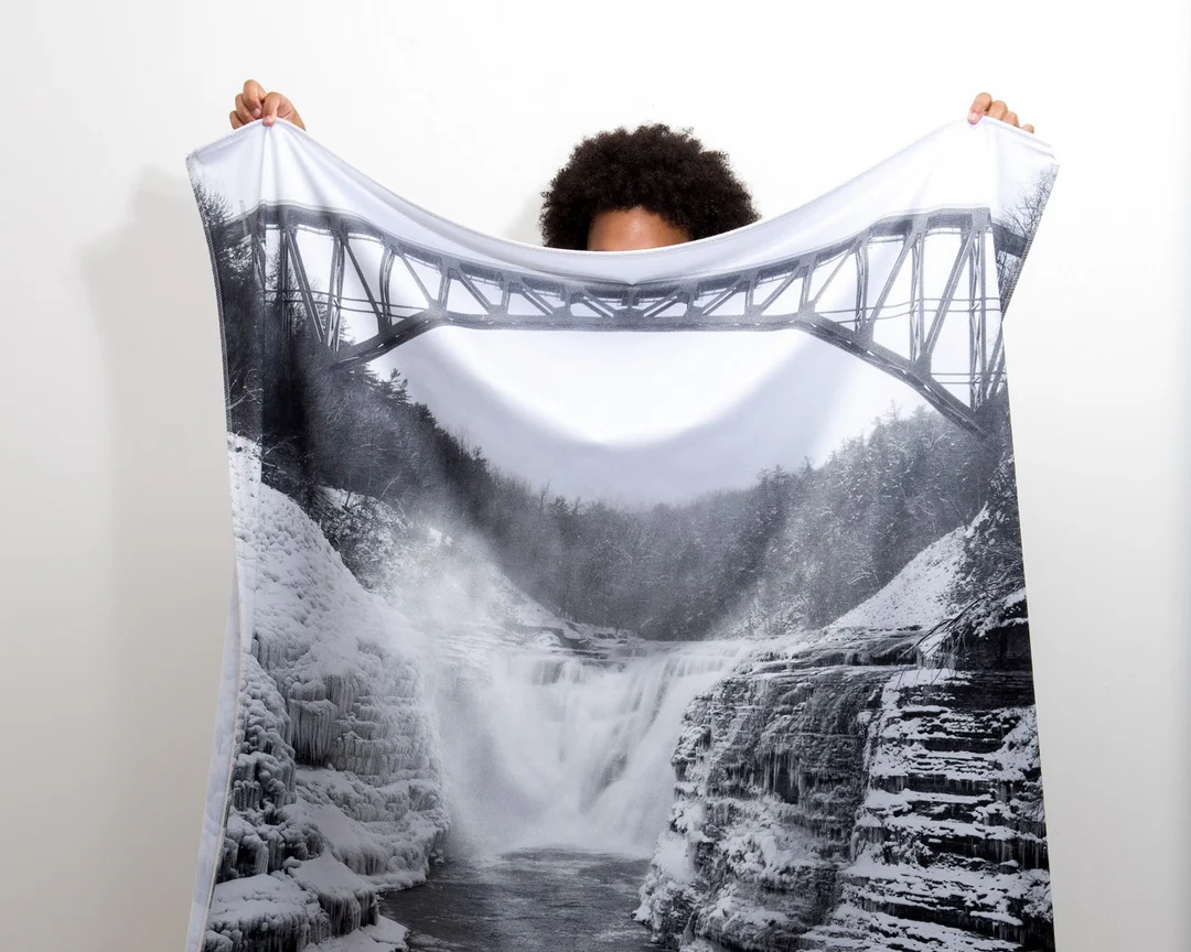
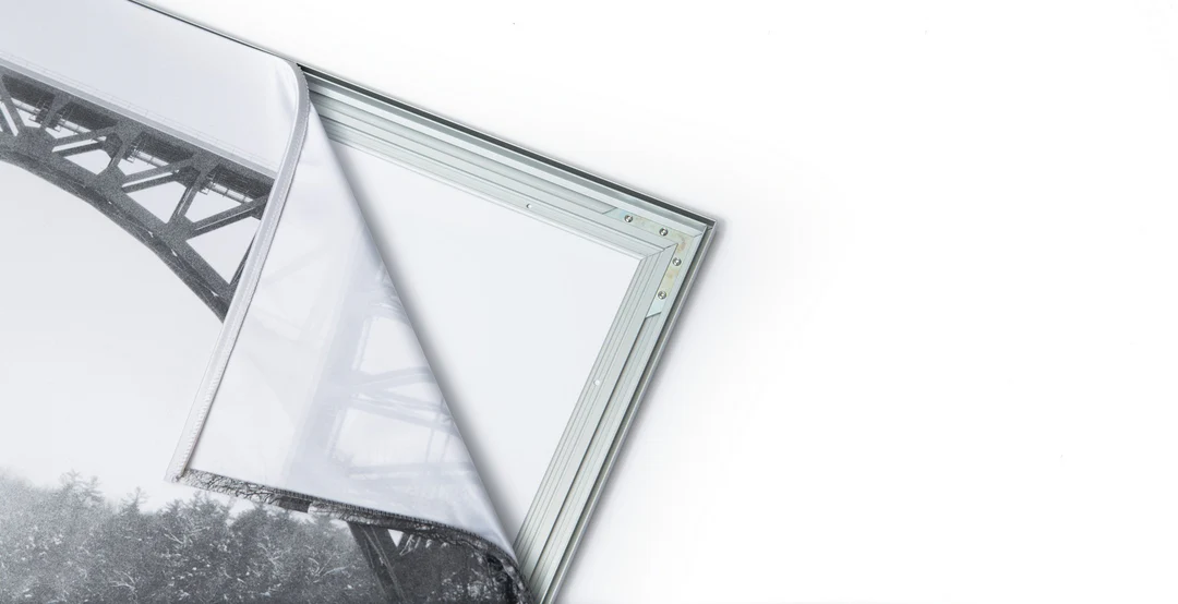
The image is printed on a durable fabric, which is stretched inside a slim aluminum frame. It’s transportable, interchangeable, and easy to assemble. Our infinity frame pieces for large sized prints will lend a “wow” factor to your space.

Better than Canvas
The colors in our fabric prints are crisp and true to life, with a matte, glare-free finish. With our printing process, the colors permeate the fabric, rather than settling on top, which reduces the risk of scratching or fading. Your art will last a long time!

Easy to Install
Assemble the frame in minutes, insert the fabric print into the grooves, and your art is ready to hang!

Statement Piece
Easy and modern way to display large art in your home or office


