More Information
This is a beautiful example of the 1887 Tunison map of northwest Africa. It covers Morocco, Algeria and Tunis from the Mediterranean Sea to the Sahara. After its conquest by the French in 1830, Algeria became an attractive destination for european immigrants. However the majority indigenous Muslim population was dissatisfied with the political system. This dissatisfaction would ultimately trigger the Algerian War and led to Algeria's independence from France. Map is highly detailed and color coded according to political and regional boundaries. Various towns, cities, rivers, deserts, mountains and other topographical details are noted. Published as plate no. 143 in Tunison's Peerless Universal Atlas.
Related Products
What our customers are saying
What is Infinity Framing?

Wow Factor
Infinity frame
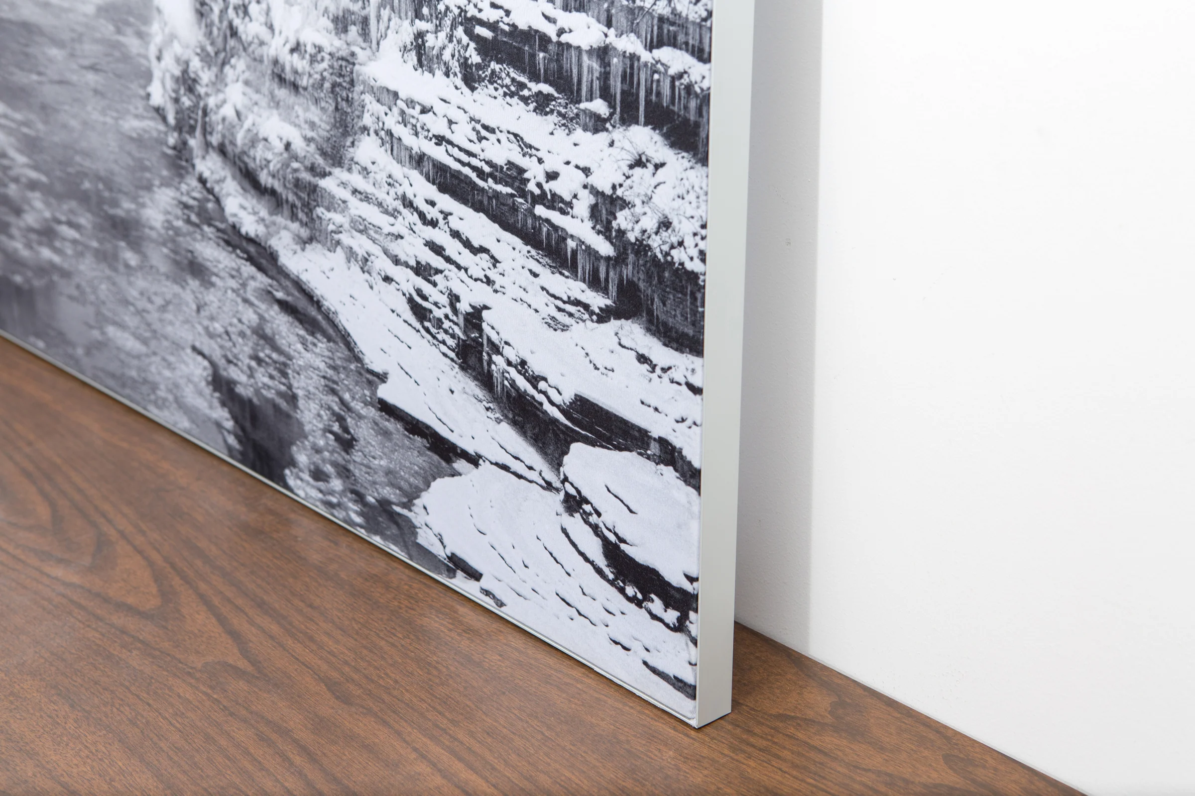
The image is printed on a durable fabric, which is stretched inside a slim aluminum frame. It’s transportable, interchangeable, and easy to assemble. Our infinity frame pieces for large sized prints will lend a “wow” factor to your space.

Better than Canvas
The colors in our fabric prints are crisp and true to life, with a matte, glare-free finish. With our printing process, the colors permeate the fabric, rather than settling on top, which reduces the risk of scratching or fading. Your art will last a long time!

Easy to Install
Assemble the frame in minutes, insert the fabric print into the grooves, and your art is ready to hang!

Statement Piece
Easy and modern way to display large art in your home or office


