More Information
This is Karl von Spruner's 1865 map of Cyrenaica, Africa, and Mauretania, collectively known as The Maghreb. Presently, the Maghreb makes up the areas of Morocco, Algeria, Tunisia, Libya, Mauritania and the disputed territory of Western Sahara. Essentially three maps in one, this charts includes the Peutinger Table, named after Konrad Peutinger, who discovered the map in 1508. The Peutinger Map is an astoundingly important discovery that is today's only known example of a Roman world map, though the original Peutinger was itself a Mediaeval copy of the Roman original. The center map is Northern Africa and the island of Sicily. At the bottom are maps featuring Caesaria, the capital of the Roman province located in Northern Africa, and Marmarica. Map labels important cities, rivers, mountain ranges and other minor topographical detail. Territories and countries outlined in color. The whole is rendered in finely engraved detail exhibiting throughout the fine craftsmanship of the Perthes firm.
Related Products
What our customers are saying
What is Infinity Framing?

Wow Factor
Infinity frame
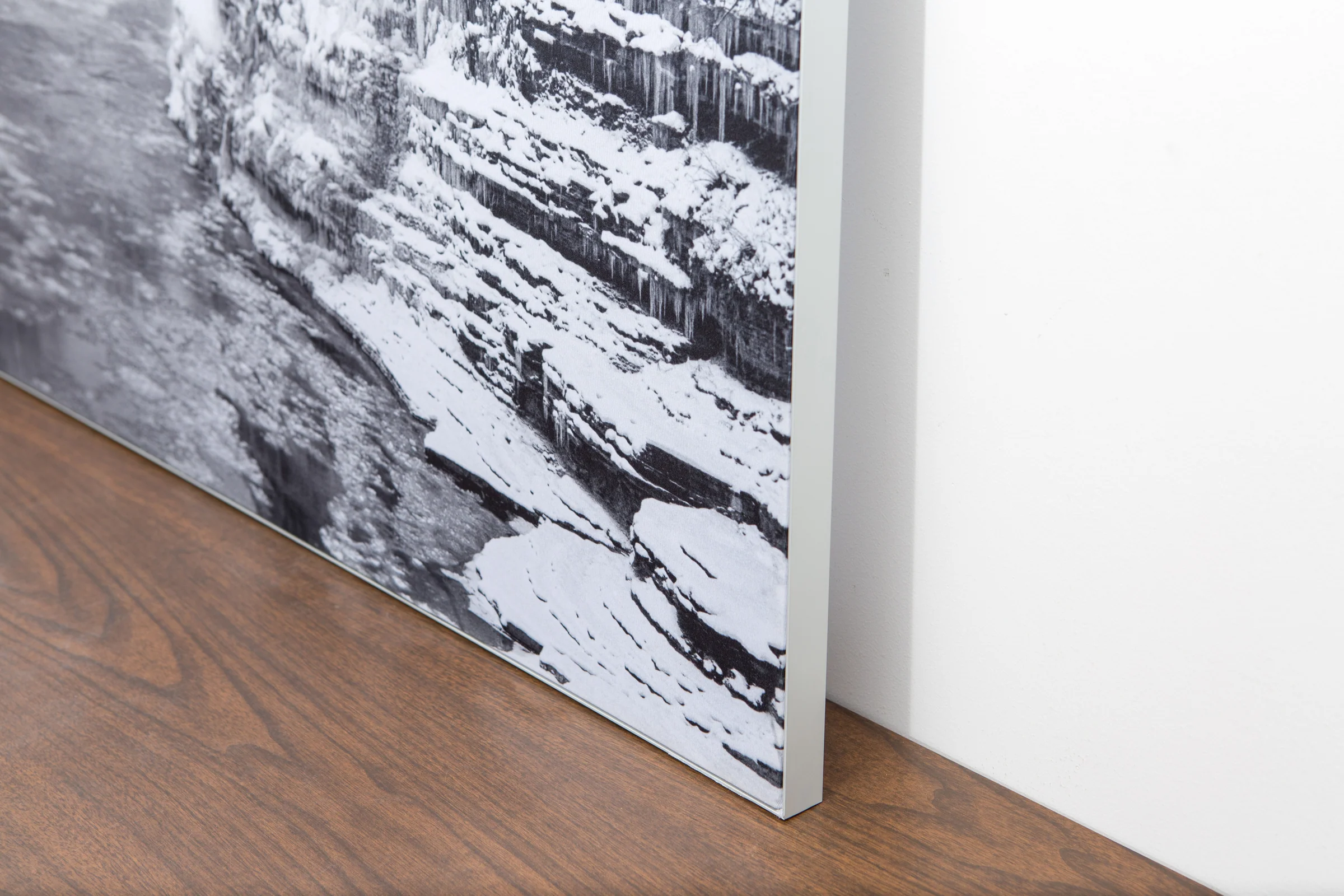
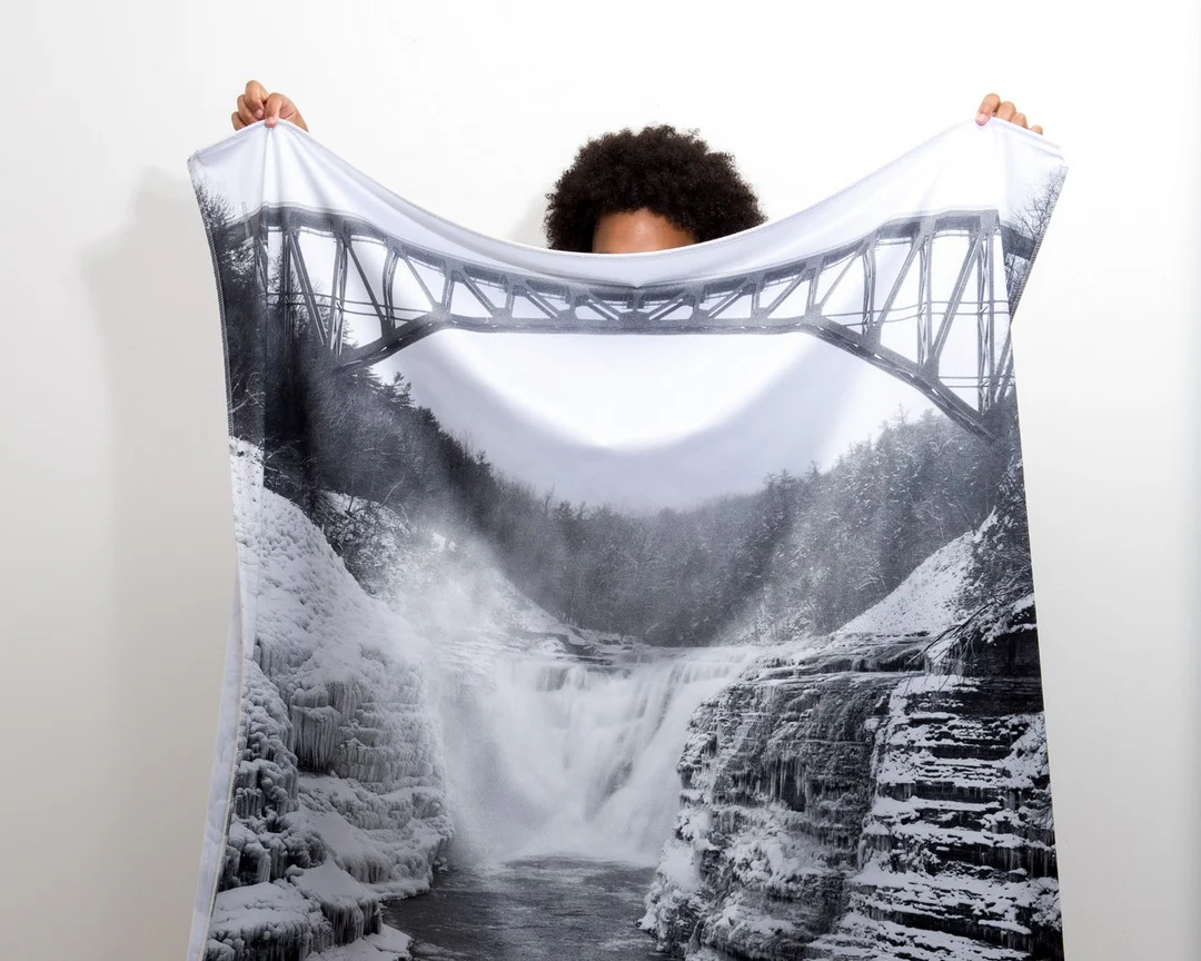
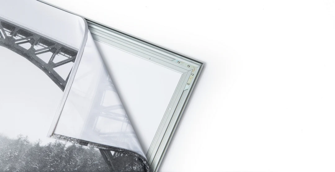
The image is printed on a durable fabric, which is stretched inside a slim aluminum frame. It’s transportable, interchangeable, and easy to assemble. Our infinity frame pieces for large sized prints will lend a “wow” factor to your space.

Better than Canvas
The colors in our fabric prints are crisp and true to life, with a matte, glare-free finish. With our printing process, the colors permeate the fabric, rather than settling on top, which reduces the risk of scratching or fading. Your art will last a long time!

Easy to Install
Assemble the frame in minutes, insert the fabric print into the grooves, and your art is ready to hang!

Statement Piece
Easy and modern way to display large art in your home or office


