


Map of the Atlantic States, Showing Distances From Washington (In BeeLine) By 50 Mile Circles. (The Traveling Distance is about 1/6 to 1/3 more than the BeeLine.) (with) Map of the Battle Ground (with) Map of Norfolk Harbor, Fort Monroe, and Vicinity. (with two insets) Position of Forces at Bull Run and Fortress Monroe. Published By L. Prang & Co. - No. 84 Merchants Row, Boston, Mass. Entered ... 1861 by L. Prang & Co. ... Massachusetts. | Map of the Atlantic States, Showing Distances From Washington (In BeeLine) By 50 Mile Circles. (The Traveling Distance is about 1/6 to 1/3 more than the BeeLine.) (with) Map of the Battle Ground (with) Map of Norfolk Harbor, Fort Monroe, and Vicinity. (with two insets) Position of Forces at Bull Run and Fortress Monroe. Published By L. Prang & Co. - No. 84 Merchants Row, Boston, Mass. Entered ... 1861 by L. Prang & Co. ... Massachusetts. |
Wow Factor
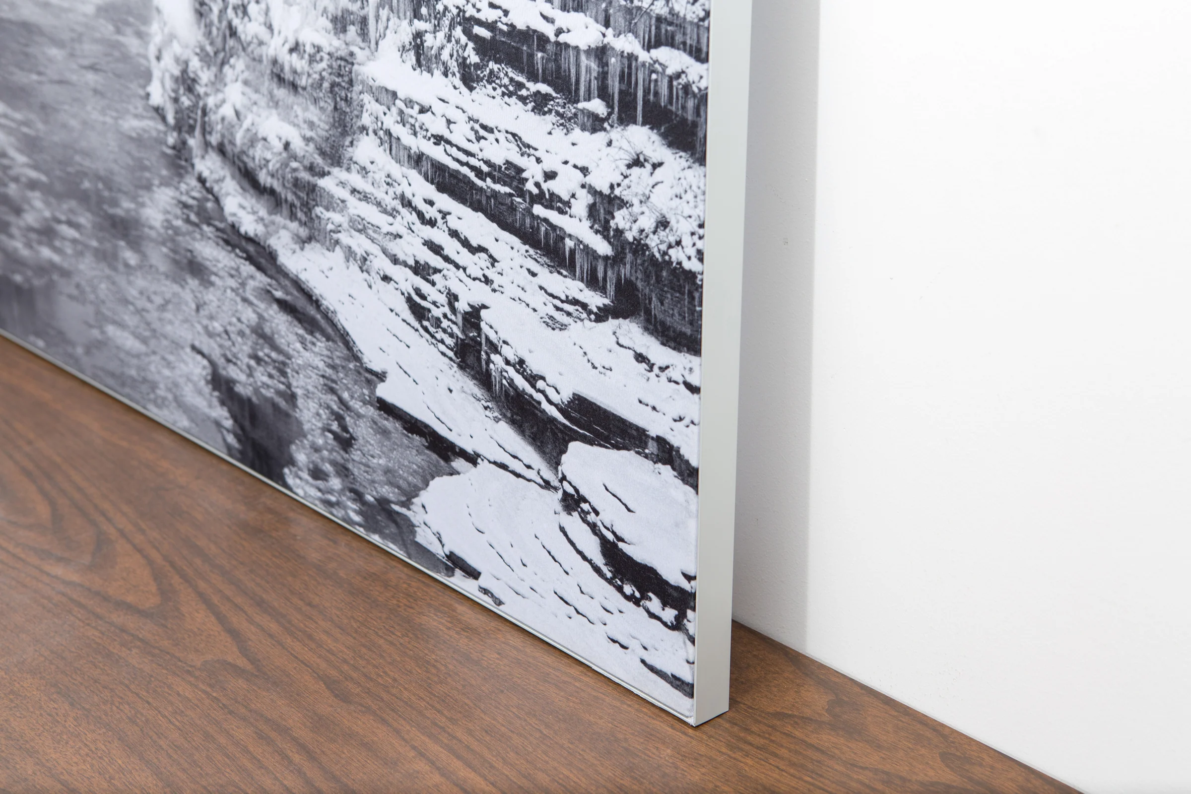
The image is printed on a durable fabric, which is stretched inside a slim aluminum frame. It’s transportable, interchangeable, and easy to assemble. Our infinity frame pieces for large sized prints will lend a “wow” factor to your space.

The colors in our fabric prints are crisp and true to life, with a matte, glare-free finish. With our printing process, the colors permeate the fabric, rather than settling on top, which reduces the risk of scratching or fading. Your art will last a long time!

Assemble the frame in minutes, insert the fabric print into the grooves, and your art is ready to hang!

Easy and modern way to display large art in your home or office


