More Information
This is one of the earliest iterations of the U.S. Coast Survey's project to fully map and chart the waters of the Chesapeake Bay and Delaware Bay. This chart is based on survey work initiated in 1855 and has been updated to 1893. Covers from Charleston south as far as Cape Henry and Norfolk. Includes both the Chesapeake Bay and Delaware Bay in full, as well as small portions of the Potomac River, Rappahannock River, York River, James River, Patapsco River, and Patuxent River. Identifies Cape May, Charleston, Baltimore, Annapolis, Chestertown, Easton, Cambridge and Norfolk. Countless depth soundings throughout. There are sailing instructions at the center of the map, in Delaware, as wall as in the lower left quadrant. Notes on tides and the making of the chart appear in the upper right quadrant. Prepared under the supervision of Ferdinand Hassler and A.D. Bache for the 1855 edition of the Superintendent's Report .
Related Products
What our customers are saying
What is Infinity Framing?

Wow Factor
Infinity frame
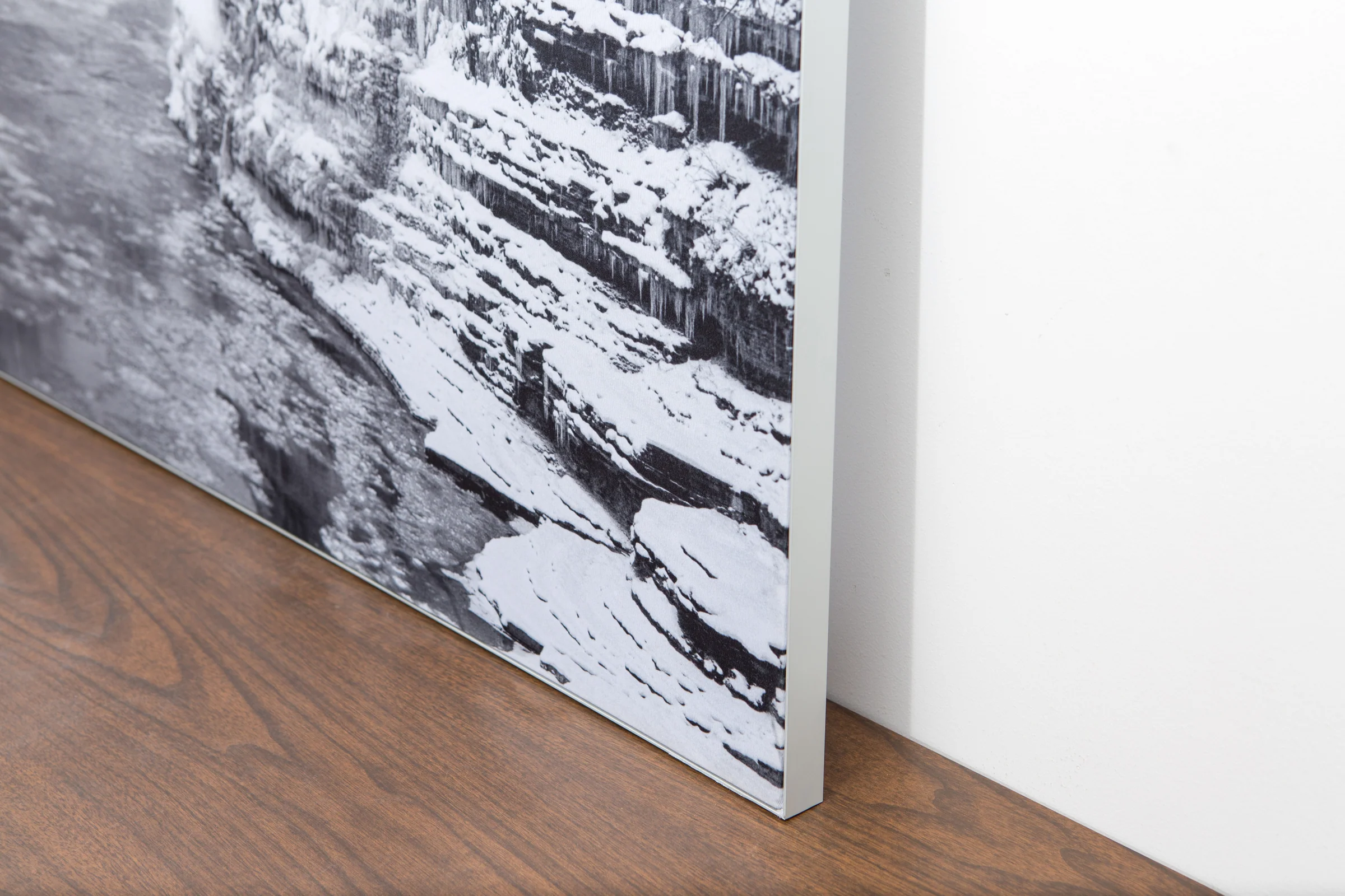
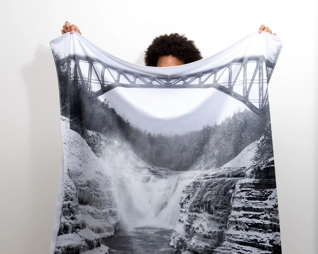
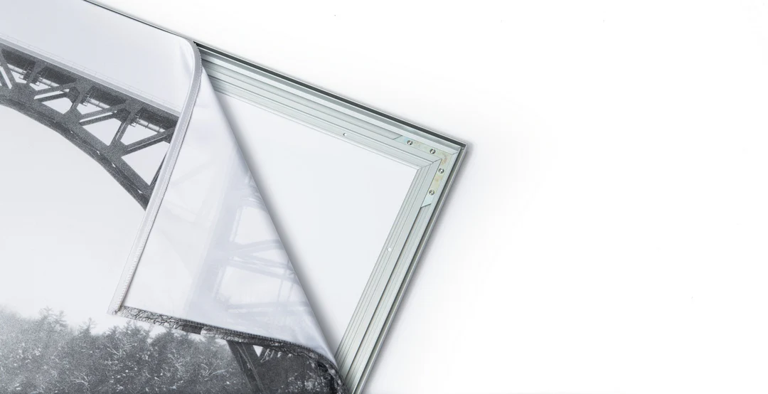
The image is printed on a durable fabric, which is stretched inside a slim aluminum frame. It’s transportable, interchangeable, and easy to assemble. Our infinity frame pieces for large sized prints will lend a “wow” factor to your space.

Better than Canvas
The colors in our fabric prints are crisp and true to life, with a matte, glare-free finish. With our printing process, the colors permeate the fabric, rather than settling on top, which reduces the risk of scratching or fading. Your art will last a long time!

Easy to Install
Assemble the frame in minutes, insert the fabric print into the grooves, and your art is ready to hang!

Statement Piece
Easy and modern way to display large art in your home or office


