More Information
An interesting 1851 Edmund Blunt maritime chart or nautical map of the coast of the United States between New York City and the Pamlico Sound. Centered on the Chesapeake Bay, which is rendered in full, this map offers a fine pre-U.S. Coast Survey analysis of the American coast including the Pamlico Sound, the Albemarle Sound, The Chesapeake Bay and its Rivers, the Delaware Bay, and the New Jersey coastline. The map extends inland as far as Washington D.C. The chart includes numerous depth soundings throughout as well as notes on lighthouse, shoals, and various other undersea dangers. This map appears to have seen considerable use and has numerous pencil markings related to navigation throughout. A scarce map.
Related Products
What our customers are saying
What is Infinity Framing?

Wow Factor
Infinity frame
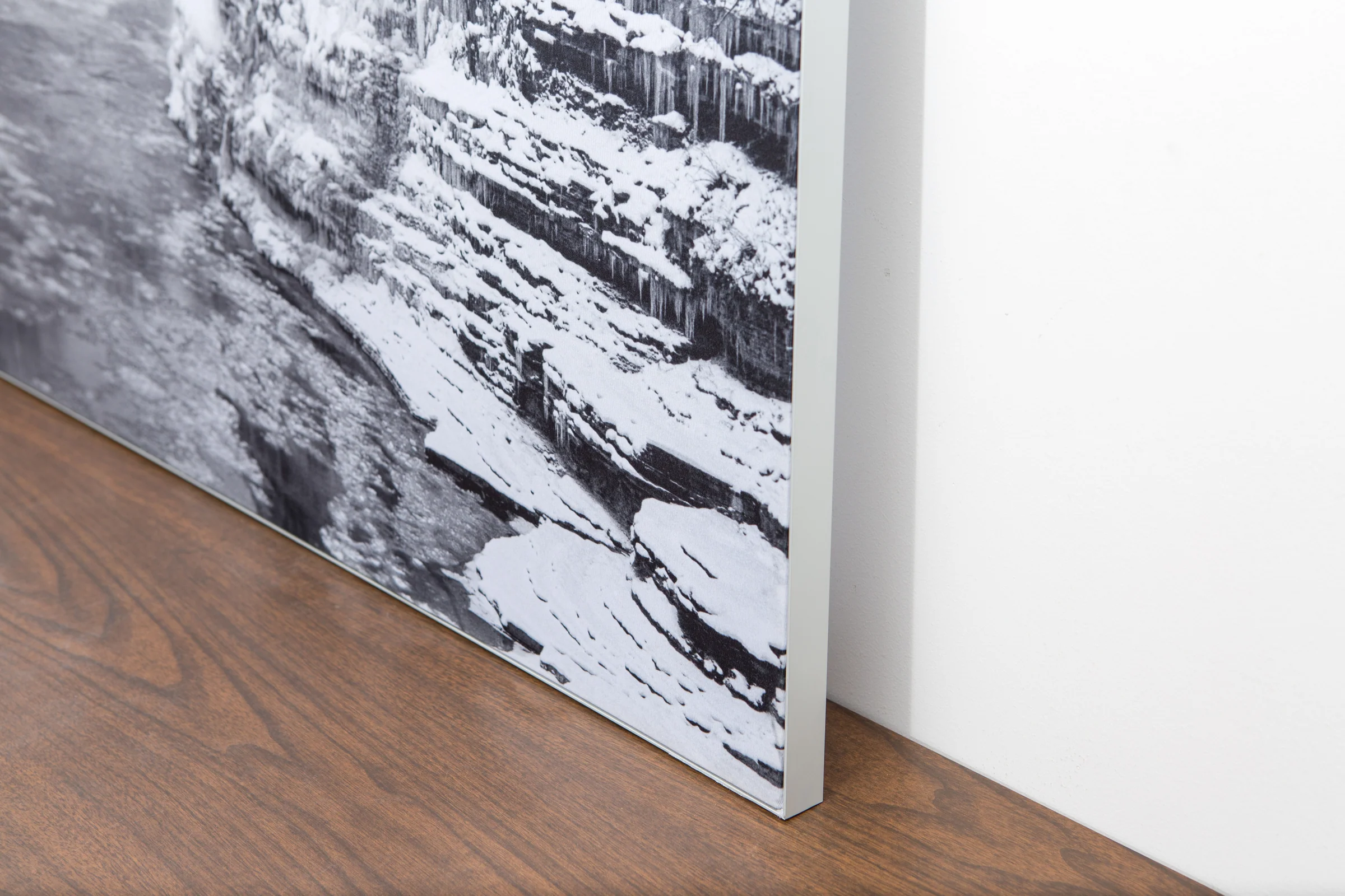
The image is printed on a durable fabric, which is stretched inside a slim aluminum frame. It’s transportable, interchangeable, and easy to assemble. Our infinity frame pieces for large sized prints will lend a “wow” factor to your space.

Better than Canvas
The colors in our fabric prints are crisp and true to life, with a matte, glare-free finish. With our printing process, the colors permeate the fabric, rather than settling on top, which reduces the risk of scratching or fading. Your art will last a long time!

Easy to Install
Assemble the frame in minutes, insert the fabric print into the grooves, and your art is ready to hang!

Statement Piece
Easy and modern way to display large art in your home or office


