More Information
This is a beautiful example of the Henry Benton's extremely scarce 1833 pocket map of Pennsylvania, New Jersey and Delaware. Benton's map covers Pennsylvania from Lake erie eastward to Delaware and New Jersey, including adjacent parts of Maryland and neighboring New York and Ohio. In the lower left quadrant, a statistical table details population by counties in 1820 and 1830. Square mileage by state is also noted. Cartographically Benton seems to have derived this map from Anthony Finely's 1826 map of the same region as included in his New American Atlas. Published by Henry Benton, Hartford Connecticut in 1833. We have identified only two appearances of this map on the market in the last 30 years. No known examples reside in institutional collections.
Related Products
What our customers are saying
What is Infinity Framing?

Wow Factor
Infinity frame
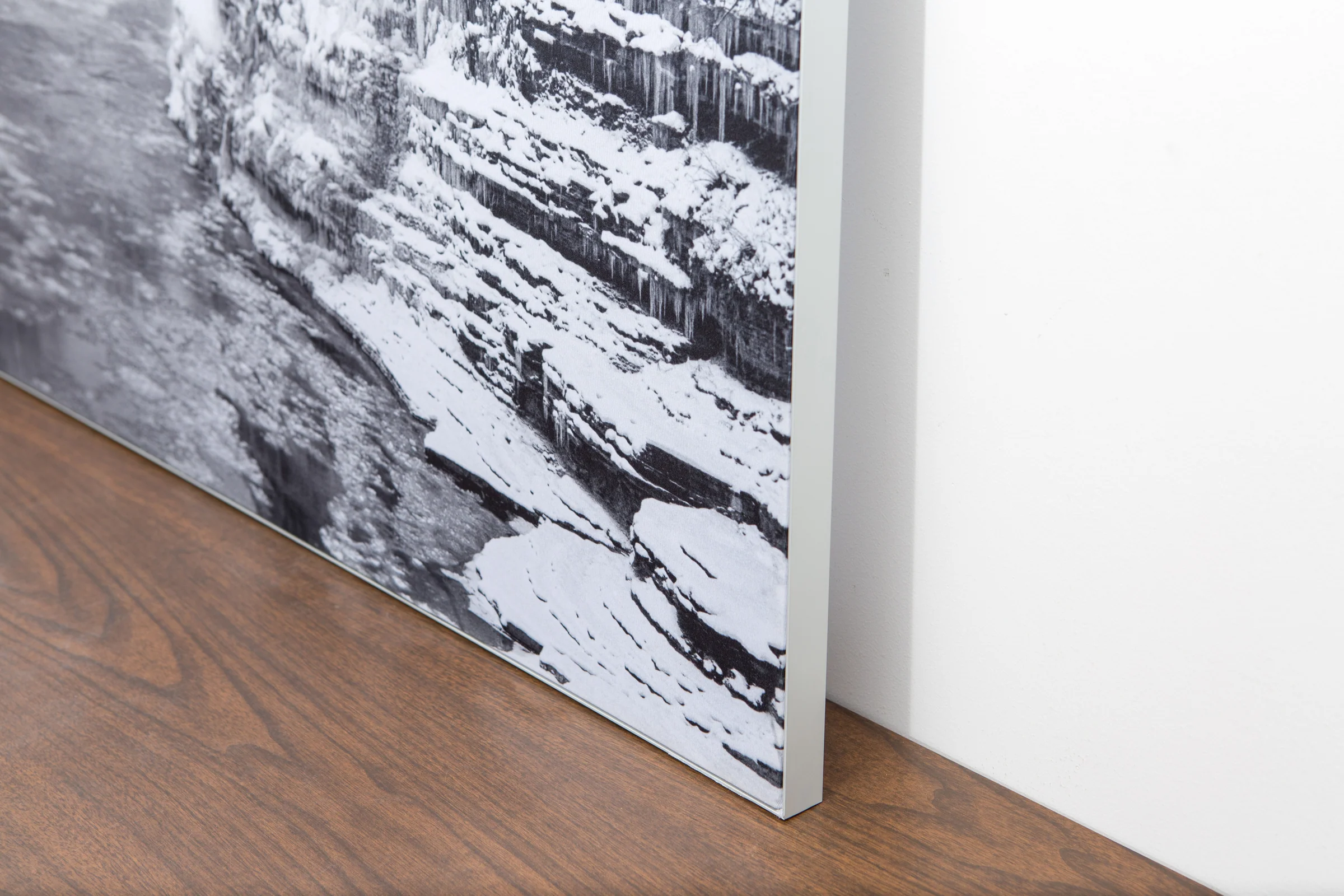
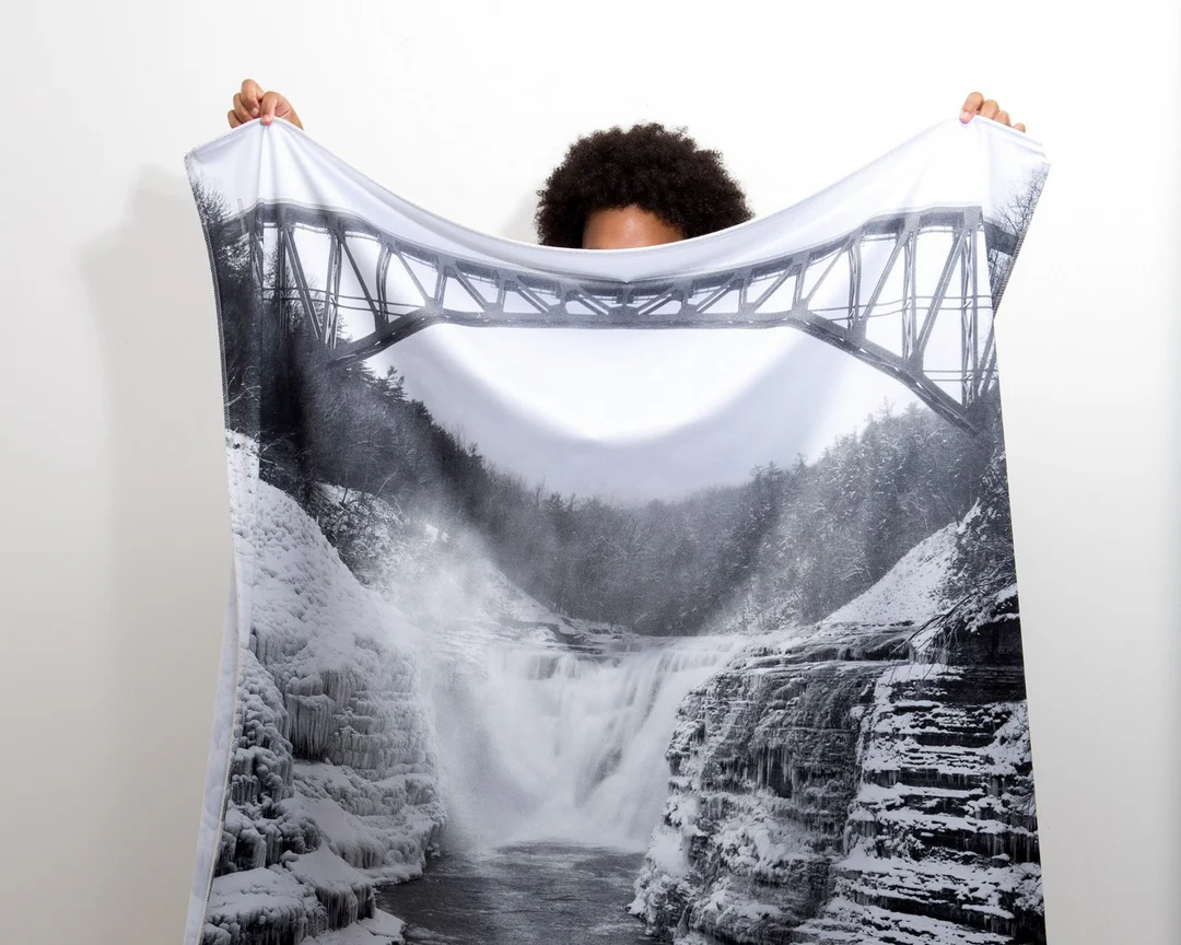
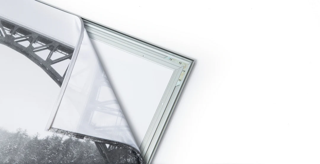
The image is printed on a durable fabric, which is stretched inside a slim aluminum frame. It’s transportable, interchangeable, and easy to assemble. Our infinity frame pieces for large sized prints will lend a “wow” factor to your space.

Better than Canvas
The colors in our fabric prints are crisp and true to life, with a matte, glare-free finish. With our printing process, the colors permeate the fabric, rather than settling on top, which reduces the risk of scratching or fading. Your art will last a long time!

Easy to Install
Assemble the frame in minutes, insert the fabric print into the grooves, and your art is ready to hang!

Statement Piece
Easy and modern way to display large art in your home or office


