More Information
Wehrgeologische Ubersichtskarte des nordwestenglischen und sudwestschottishen Kustengebietes (Von Great Ormes Head bis Rinns of Galloway). (Geological Overview Map of the North West of England and Southwest Scottish Coastal Territory (from Great Ormes Head to Rinns of Galloway). (Nur fur den Dienstgebrauch! (Only for internal use!) Wehrgeologische bearbeitet durch Wa A (Wa Pruf Fest V). (Recruiting Geological edited by A Wa). Gen. St. d. H. Abt. f. Kregskarten v. Verm. Wesen (IV Mil.-Geo) II. 41.(Generalstab des Heeres. Abt. fur Kriegskarten und Vermessungswesen (General Staff of the Army. Department for War Maps and Surveying). (February, 1941). | Operation Sea Lion - the Original Nazi German Plan for the Invasion of Great Britain). | Publisher:Generalstab des Heeres, (Military High Command).
We print high quality reproductions of historical maps, photographs, prints, etc. Because of their historical nature, some of these images may show signs of wear and tear - small rips, stains, creases, etc. We believe that in many cases this contributes to the historical character of the item.
Related Products
What our customers are saying
What is Infinity Framing?

Wow Factor
Infinity frame
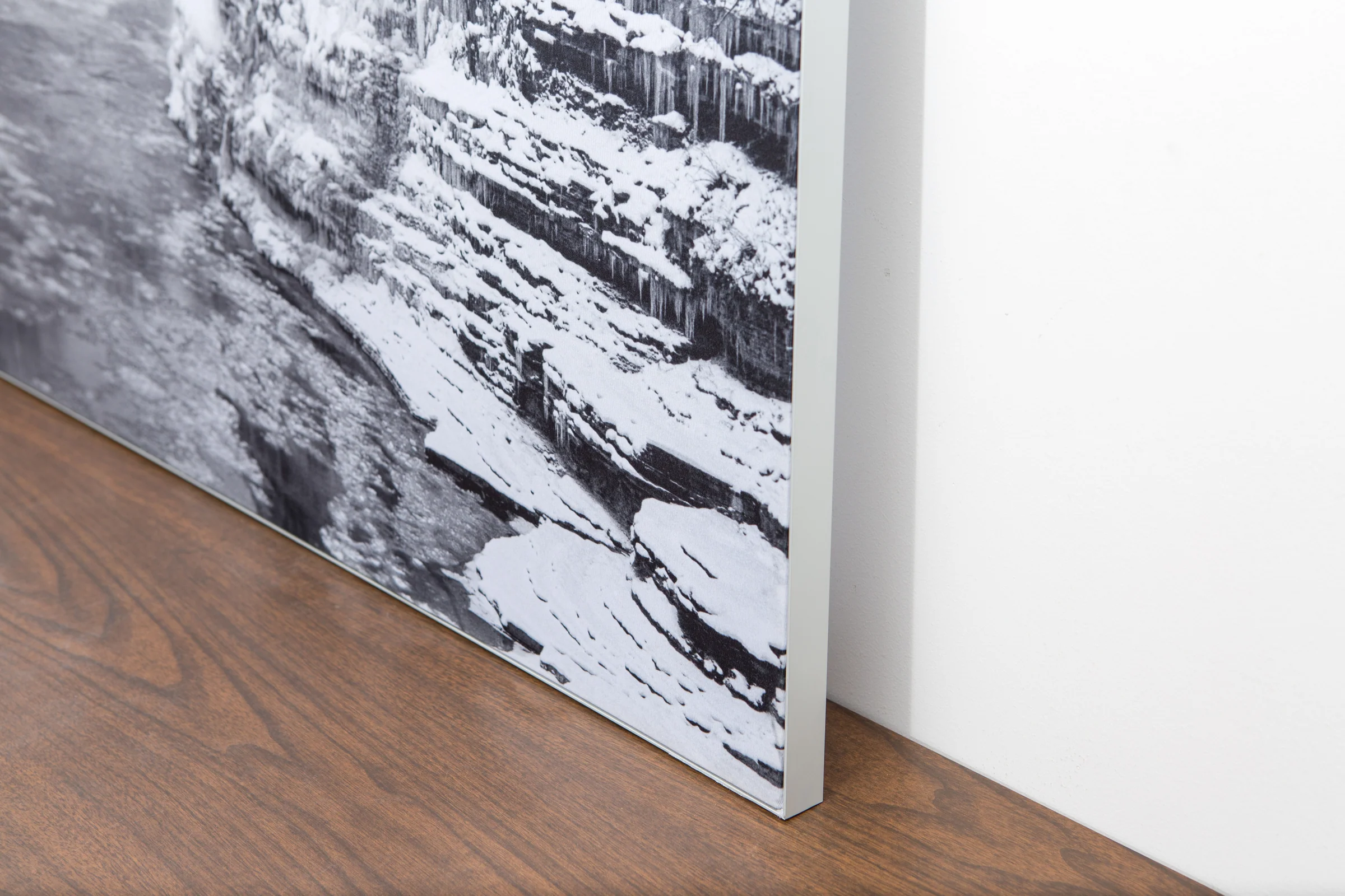
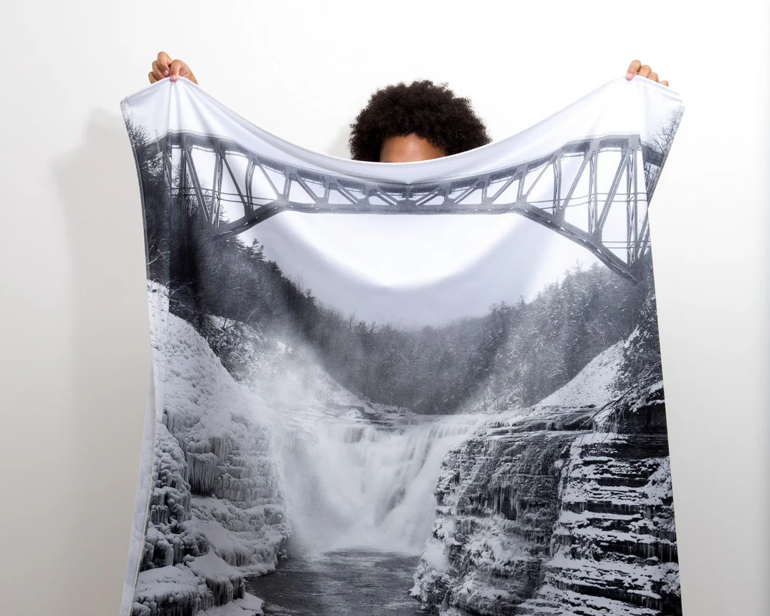
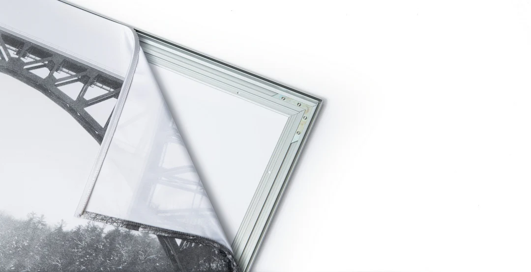
The image is printed on a durable fabric, which is stretched inside a slim aluminum frame. It’s transportable, interchangeable, and easy to assemble. Our infinity frame pieces for large sized prints will lend a “wow” factor to your space.

Better than Canvas
The colors in our fabric prints are crisp and true to life, with a matte, glare-free finish. With our printing process, the colors permeate the fabric, rather than settling on top, which reduces the risk of scratching or fading. Your art will last a long time!

Easy to Install
Assemble the frame in minutes, insert the fabric print into the grooves, and your art is ready to hang!

Statement Piece
Easy and modern way to display large art in your home or office


