More Information
This is a fine 1851 John Tallis map of New South Wales, Australia. The map covers eastern Australia from the Great Sandy Island south past Sydney to Cape Howe. It also extends a considerable distance inland despite the region being only tenuously mapped. This map was issued in the same year as Victoria became an independent colony separate from New South Wales in July, 1851. This year also marked the beginning of the Australian gold rush, which would attract a large number of international immigrants, tripling its population within the next 20 years. The map includes beautiful illustrations by H. Warren depicting The Murray, in xanthorrhaea and the Sydney Cove. The seal of New South Wales is also illustrated. The map also notes the 1817 routes of John Oin xley, who discovered the Brisbane River. The whole has the highly decorative presentation and elaborate border distinctive of Tallis maps. This map was issued as part of the 1851 edition of John Tallis and Company's The Illustrated Atlas, And Modern History of the World.
Related Products
What our customers are saying
What is Infinity Framing?

Wow Factor
Infinity frame
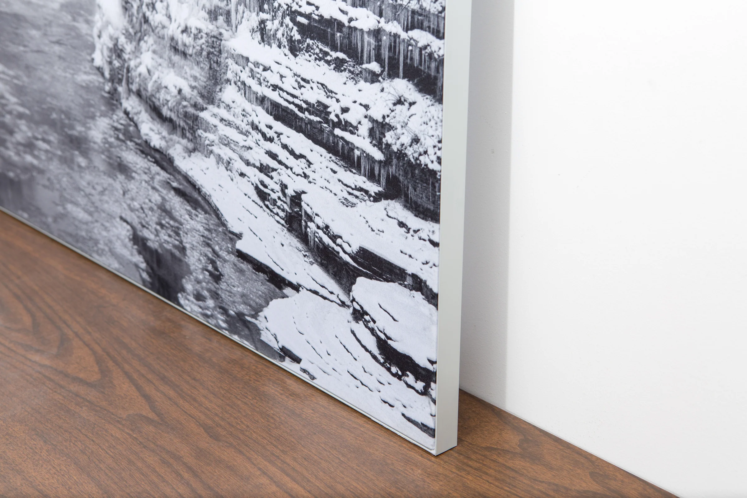
The image is printed on a durable fabric, which is stretched inside a slim aluminum frame. It’s transportable, interchangeable, and easy to assemble. Our infinity frame pieces for large sized prints will lend a “wow” factor to your space.

Better than Canvas
The colors in our fabric prints are crisp and true to life, with a matte, glare-free finish. With our printing process, the colors permeate the fabric, rather than settling on top, which reduces the risk of scratching or fading. Your art will last a long time!

Easy to Install
Assemble the frame in minutes, insert the fabric print into the grooves, and your art is ready to hang!

Statement Piece
Easy and modern way to display large art in your home or office


