More Information
Adam and Charles Black's 1851 map of northern Italy. The map covers the island of Corsica and Northern Italy, including the territories of Tuscany, Modena, Parma, the Sardinian States, Austrian Lombardy and the State of the Church. It also includes the northern extension of the Kingdom of Naples. An inset map in the lower left quadrant depicts the environs of Rome. As this map was being drawn, Italy was undergoing the process of Risorgimento,, where the different city-states of the Italian Peninsula struggled for solidary as a single Italian nation. Throughout, the map identifies various cities, towns, rivers, mountain passes and an assortment of additional topographical details. Map is hand colored in pink, green, blue and yellow pastels to define boundaries. The map is engraved by S. Hall and issued as plate no. in xin xin xI in the 1851 edition of Black's General Atlas.
Related Products
What our customers are saying
What is Infinity Framing?

Wow Factor
Infinity frame
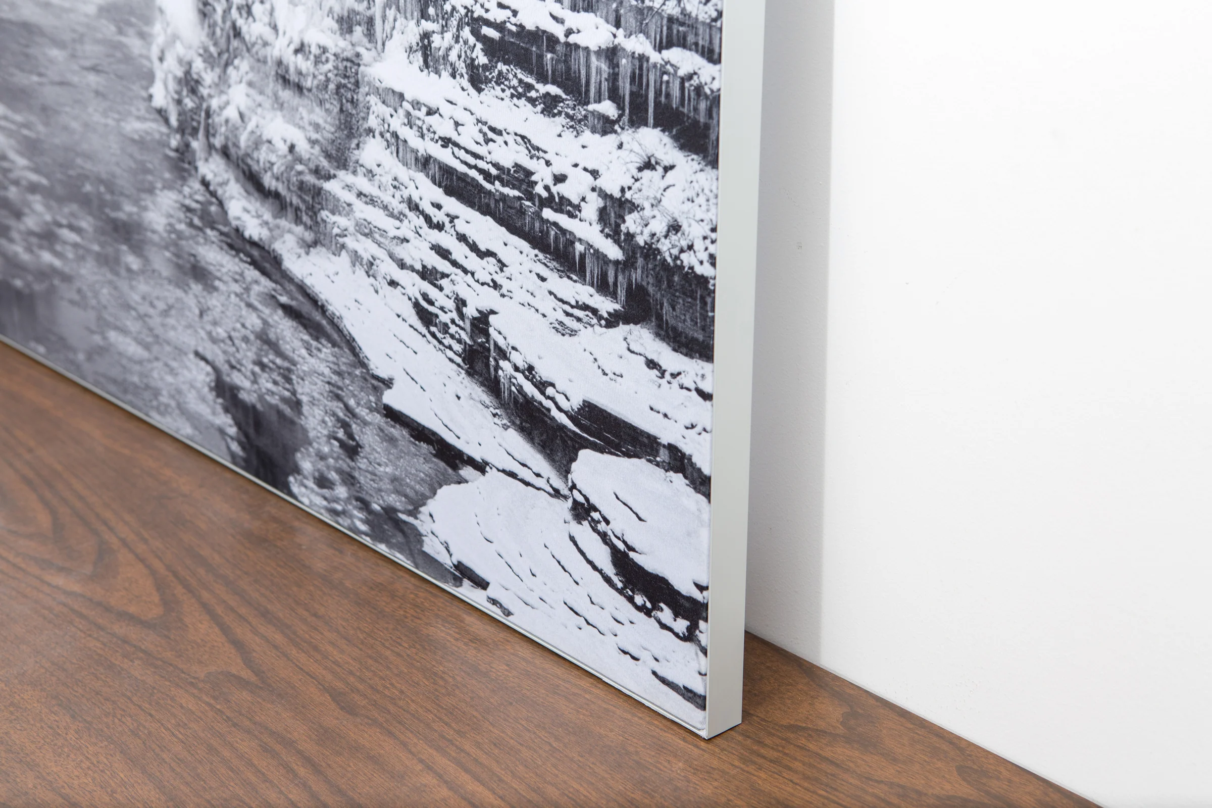
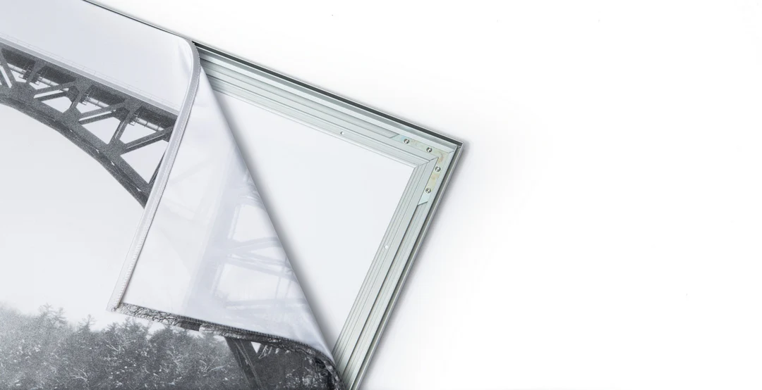
The image is printed on a durable fabric, which is stretched inside a slim aluminum frame. It’s transportable, interchangeable, and easy to assemble. Our infinity frame pieces for large sized prints will lend a “wow” factor to your space.

Better than Canvas
The colors in our fabric prints are crisp and true to life, with a matte, glare-free finish. With our printing process, the colors permeate the fabric, rather than settling on top, which reduces the risk of scratching or fading. Your art will last a long time!

Easy to Install
Assemble the frame in minutes, insert the fabric print into the grooves, and your art is ready to hang!

Statement Piece
Easy and modern way to display large art in your home or office


