More Information
(Map 10 - Texas, New Mexico, Indian Territories, Utah). | Centennial Map Of The United States and Territories Showing the Extent of Public Surveys, Indian and Military Reservations...& Other Details. | 16 sheets plus index sheet. 2nd ed.(1876 1st ed). cf Modelski 54 (smaller 1973 edition). At head of title: 1876. Not listed in Wheat or most other references. Related to the Centennial Atlas of the United States published in 1876, although those maps were on a somewhat larger scale (1"=12 to 20 miles, vs 1"=20 miles for this). When joined, these sheets would make a map 8 feet tall by 12 feet wide.
We print high quality reproductions of historical maps, photographs, prints, etc. Because of their historical nature, some of these images may show signs of wear and tear - small rips, stains, creases, etc. We believe that in many cases this contributes to the historical character of the item.
Related Products
What our customers are saying
What is Infinity Framing?

Wow Factor
Infinity frame
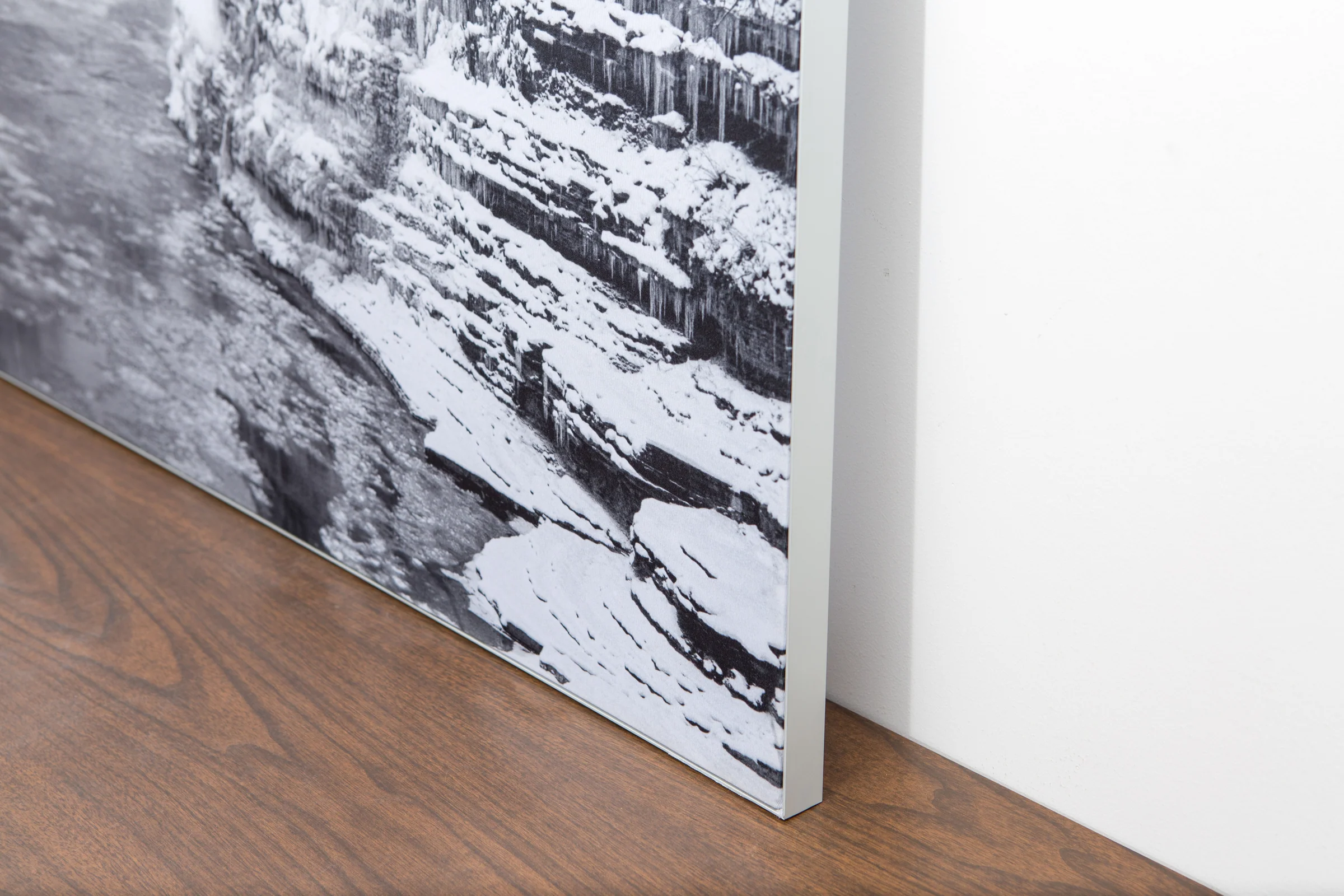
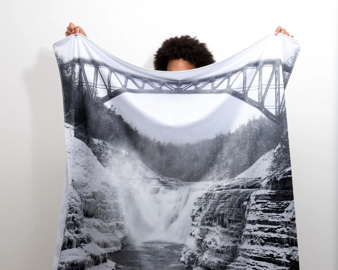
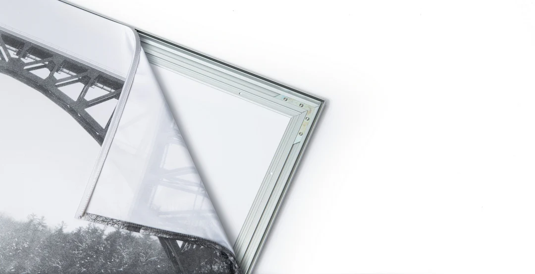
The image is printed on a durable fabric, which is stretched inside a slim aluminum frame. It’s transportable, interchangeable, and easy to assemble. Our infinity frame pieces for large sized prints will lend a “wow” factor to your space.

Better than Canvas
The colors in our fabric prints are crisp and true to life, with a matte, glare-free finish. With our printing process, the colors permeate the fabric, rather than settling on top, which reduces the risk of scratching or fading. Your art will last a long time!

Easy to Install
Assemble the frame in minutes, insert the fabric print into the grooves, and your art is ready to hang!

Statement Piece
Easy and modern way to display large art in your home or office


