More Information
An unusual and attractive coastal map produced by the U.S. Coast Survey to chart changes in the St. Johns River (FL) delta between 1853 and 1857. Details a number of sandbars and shoals and records their appearance and disappearance at various different dates. A profile chart in the upper right quadrant details changes to the shipping lanes that occurred between the first survey of the region in 1853 and the final survey in 1857. They Hydrography for this chart was accomplished in 1853 by a party under the command of T. A. Craven and again in 1857 by a party under the command of S. D. Trenchard. Compiled under the direction of A. D. Bache, Superintendent of the Survey of the Coast of the United States and one of the most influential American cartographers of the 19th century.
Related Products
What our customers are saying
What is Infinity Framing?

Wow Factor
Infinity frame
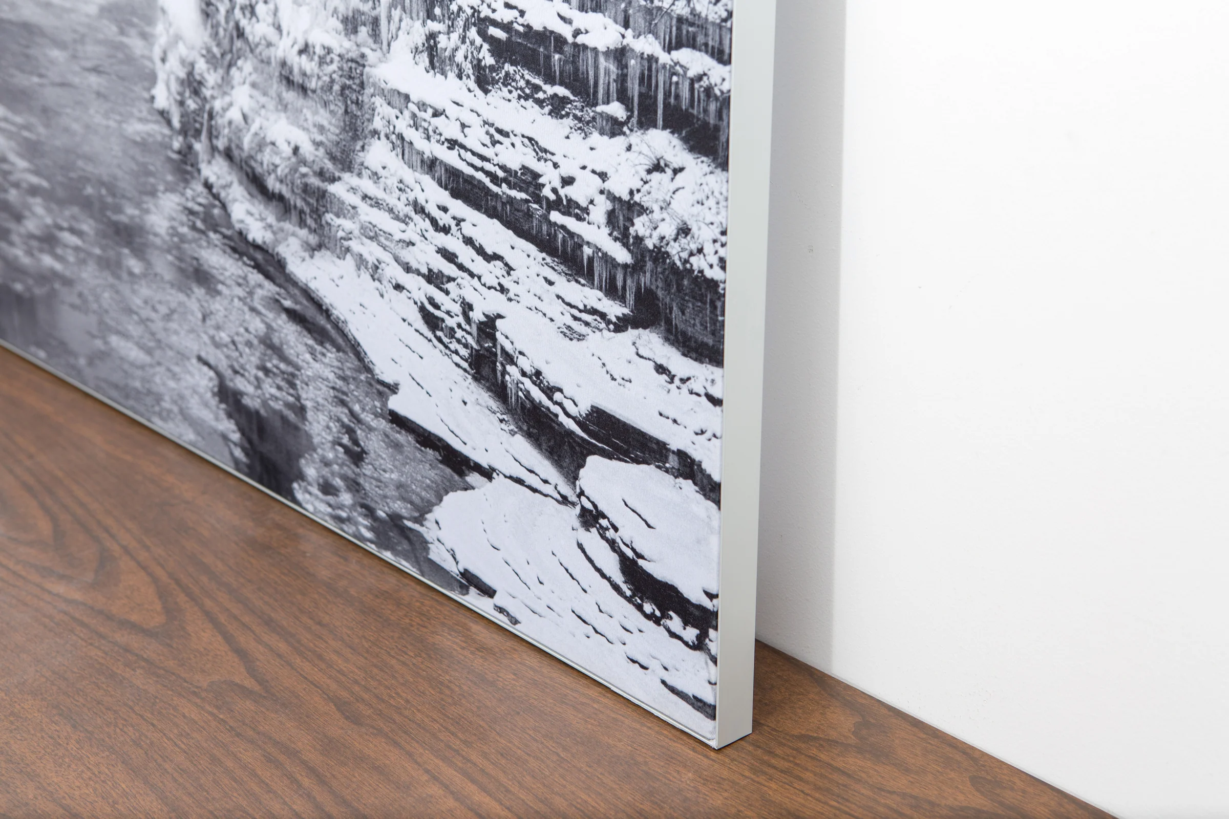
The image is printed on a durable fabric, which is stretched inside a slim aluminum frame. It’s transportable, interchangeable, and easy to assemble. Our infinity frame pieces for large sized prints will lend a “wow” factor to your space.

Better than Canvas
The colors in our fabric prints are crisp and true to life, with a matte, glare-free finish. With our printing process, the colors permeate the fabric, rather than settling on top, which reduces the risk of scratching or fading. Your art will last a long time!

Easy to Install
Assemble the frame in minutes, insert the fabric print into the grooves, and your art is ready to hang!

Statement Piece
Easy and modern way to display large art in your home or office


