More Information
This is Tallis's c. 1850 chart of comparative geographic features for the Western Hemisphere. Shows the islands of New Zealand, Cuba, Iceland etc., the Great Lakes and others, the rivers Mississippi, St Lawrence and Amazon and the mountains with the highest given as Nevada de Sorata, South America. This particular chart was likely not issued with Tallis' Illustrated Atlas. Given its double fold lines, it is safe to assume that this map was issued to illustrate a book or other text. This chart was designed and engraved by J. Rapkin. Published by the John Tallis & Company, London & New York in 1850.
Related Products
What our customers are saying
What is Infinity Framing?

Wow Factor
Infinity frame
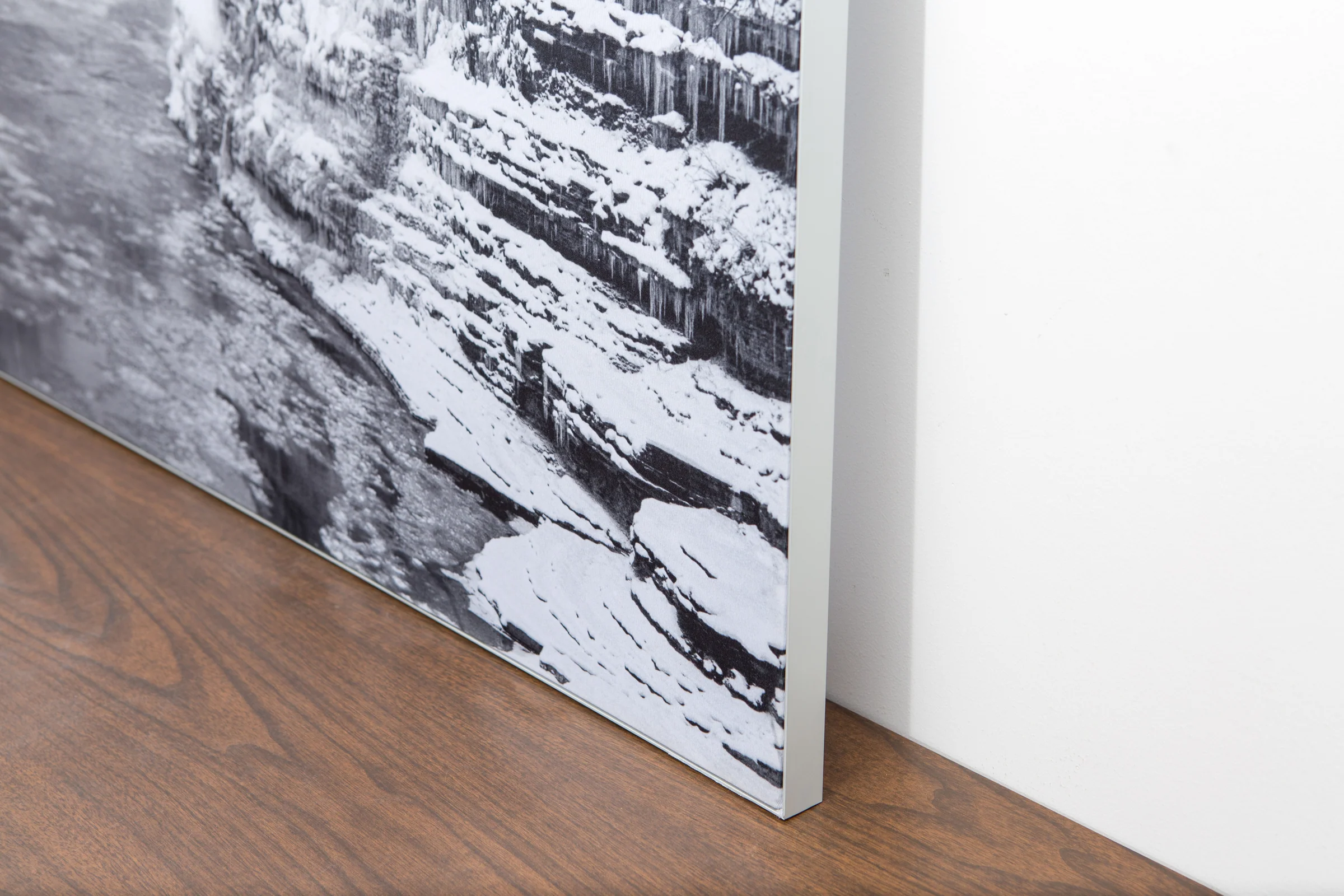
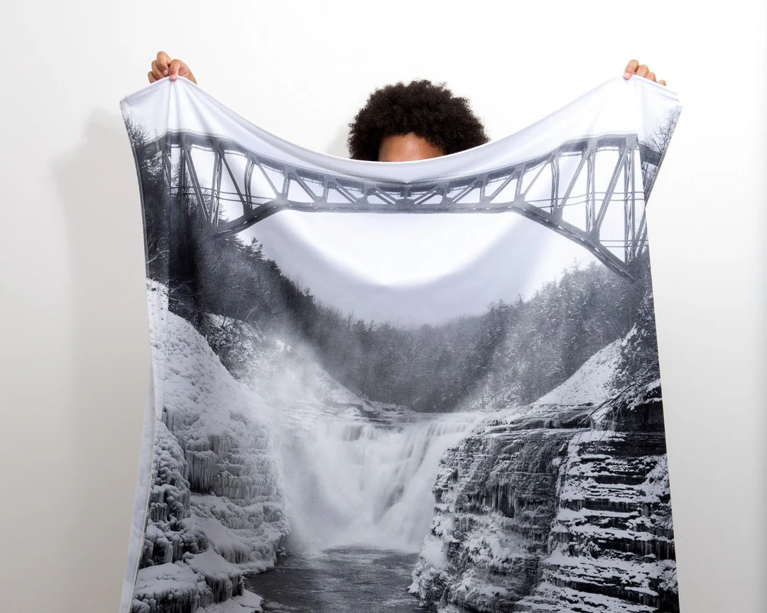
The image is printed on a durable fabric, which is stretched inside a slim aluminum frame. It’s transportable, interchangeable, and easy to assemble. Our infinity frame pieces for large sized prints will lend a “wow” factor to your space.

Better than Canvas
The colors in our fabric prints are crisp and true to life, with a matte, glare-free finish. With our printing process, the colors permeate the fabric, rather than settling on top, which reduces the risk of scratching or fading. Your art will last a long time!

Easy to Install
Assemble the frame in minutes, insert the fabric print into the grooves, and your art is ready to hang!

Statement Piece
Easy and modern way to display large art in your home or office


