More Information
An uncommon 1920 map detailing the South Bronin x and Flushing, in Northern Queens, New York City. Issued by the U.S. Engineer Office, this map focuses on The East River as it flows past Hell Hate and Rikers Island towards Flushing Bay and Long Island. The title suggests that this map is sheet 2 of a larger 4 sheet map intended to illustrate Water Terminal and Transfer Facilities. The focus of the map is unusual and many areas not commonly addressed in antique maps, such as Flushing Queens, Forest Park, Collage Point, Astoria Queens, and the South Bronin x are here illustrated in detail.
Related Products
What our customers are saying
What is Infinity Framing?

Wow Factor
Infinity frame
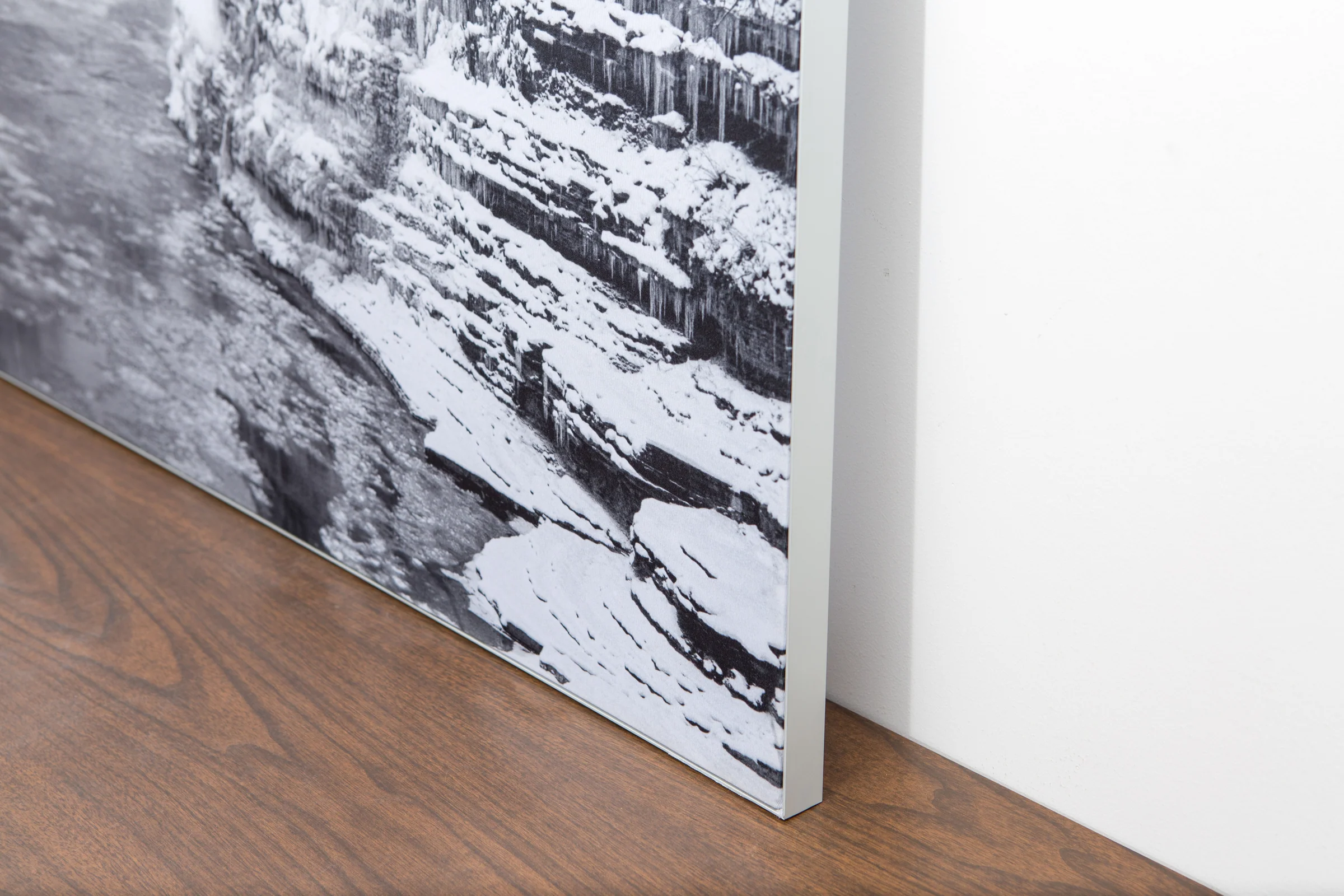
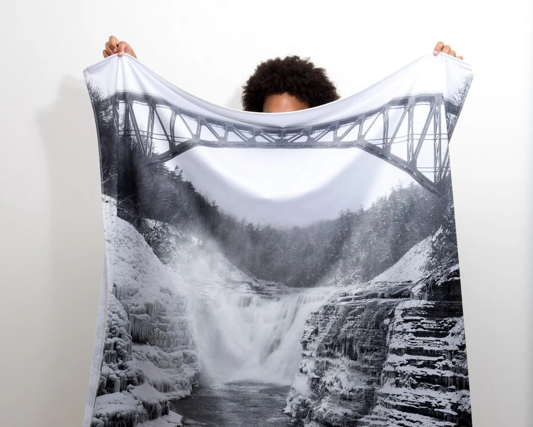
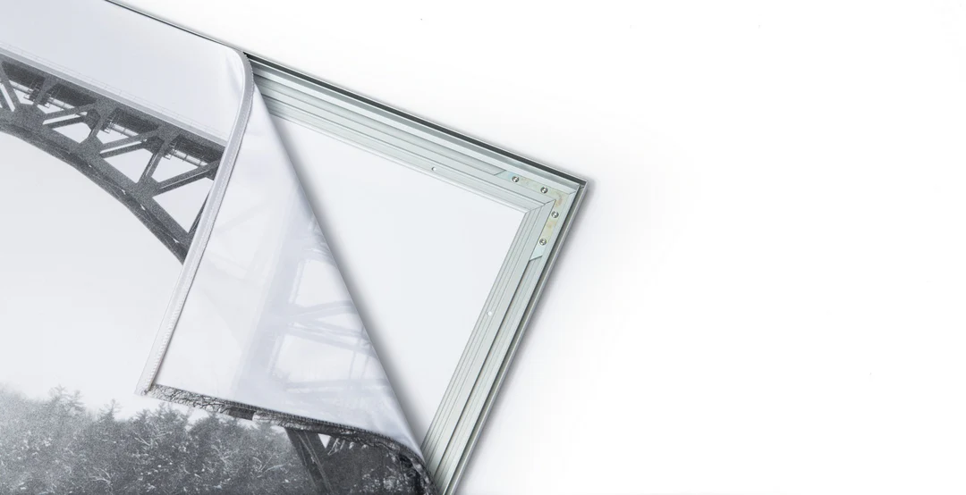
The image is printed on a durable fabric, which is stretched inside a slim aluminum frame. It’s transportable, interchangeable, and easy to assemble. Our infinity frame pieces for large sized prints will lend a “wow” factor to your space.

Better than Canvas
The colors in our fabric prints are crisp and true to life, with a matte, glare-free finish. With our printing process, the colors permeate the fabric, rather than settling on top, which reduces the risk of scratching or fading. Your art will last a long time!

Easy to Install
Assemble the frame in minutes, insert the fabric print into the grooves, and your art is ready to hang!

Statement Piece
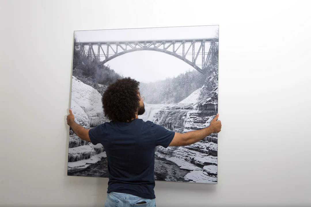
Easy and modern way to display large art in your home or office


