More Information
Atlas general de la ville, des faubourgs et des monuments de Paris. Leve dessine et rapporte par Th. Jacoubet . Grave par D. Bonnet. Ecrit par Hacq. | Atlas general de la ville, des faubourgs et des monuments de Paris. Leve dessine et rapporte par Th. Jacoubet . Grave par D. Bonnet. Ecrit par Hacq. | The Jacoubet atlas of the city, the suburbs and monuments of Paris was made by the architect Theodore Jacoubet. The writing and engraving were done by J. M. Hacq and D. Bonnet. Jacoubet is the last architect to have been responsible for the establishment of a map of Paris. The maps are significant because all streets and buildings are drawn to scale thereby making the maps extremely accurate for the time. The atlas is a very large map of Paris in 54 sheets, mounted on linen, on sheets 71x157 or smaller, folded to 71x51, published between 1827 and 1836, delivered in 9 parts. Maps are heavily annotated to show the evolution of the city planing, expansion of the roads and changes in the buildings. Many sheets have annotations showing proposed new streets, widening of streets, and new public spaces. It is possible that this set was used in the early planning of the Haussmann designs for new wide boulevards that were constructed in the period 1853 to 1870. The new Opera house is shown in manuscript plan. Streets and roads, canals, public buildings and monuments are represented, some roads and monuments are anticipated by the architects: churches, opera house, the City Hall, for example, is shown as it will be completed in 1848. Library lacks sheets 1 and 2 that are title sheet (image online is from Princeton University copy); 3-54 are maps, Sheets 8-9 "Plan d'Assemblage" on 2 sheets folded, including delivery table and six small plans of Paris evolution over time and a plan of major operations that were used in the triangulation of Paris.
Related Products
What our customers are saying
What is Infinity Framing?

Wow Factor
Infinity frame
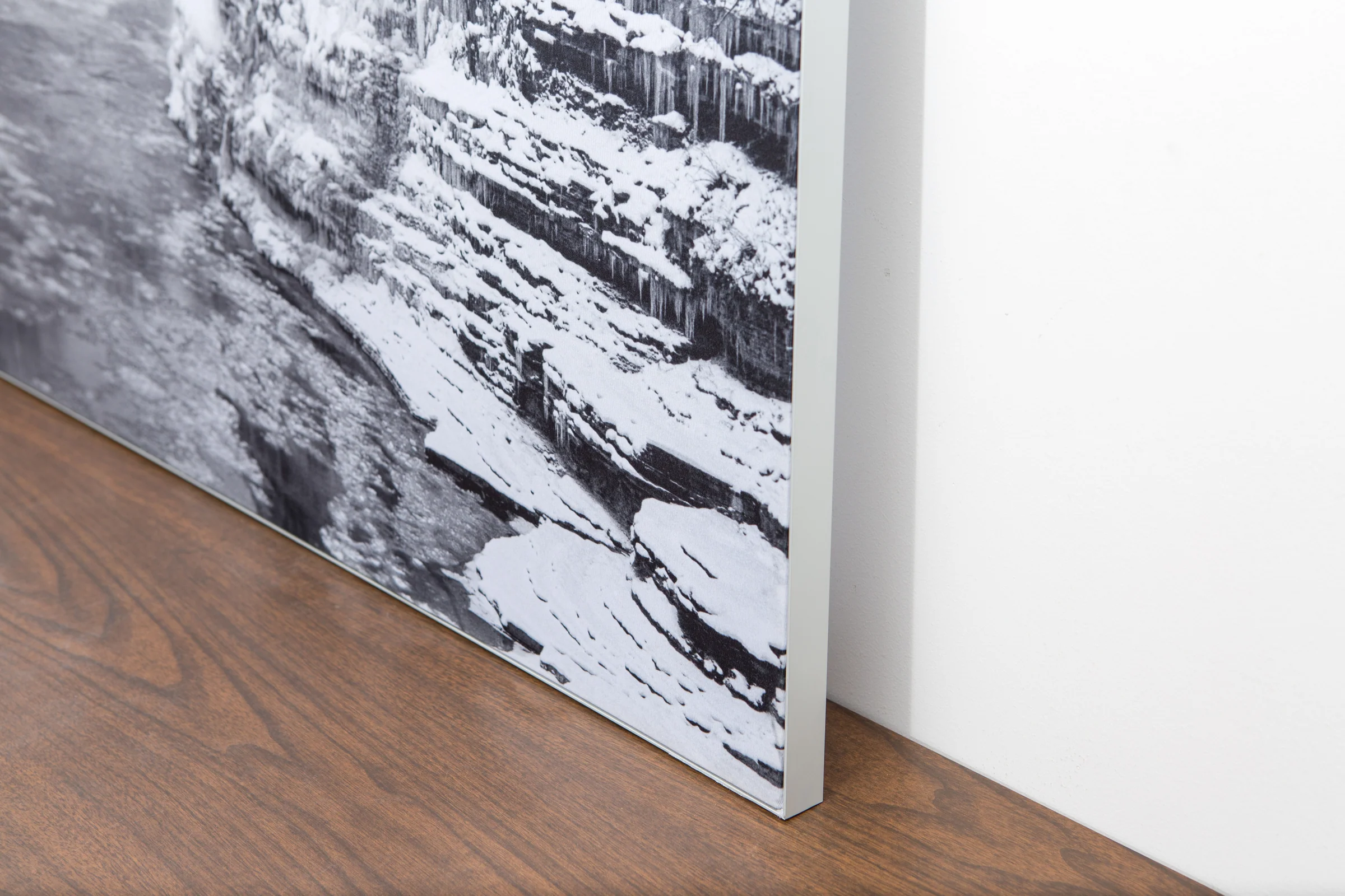
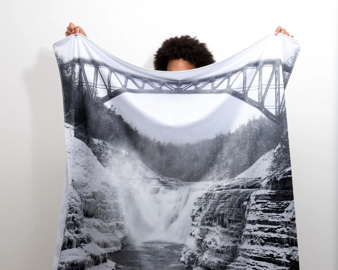
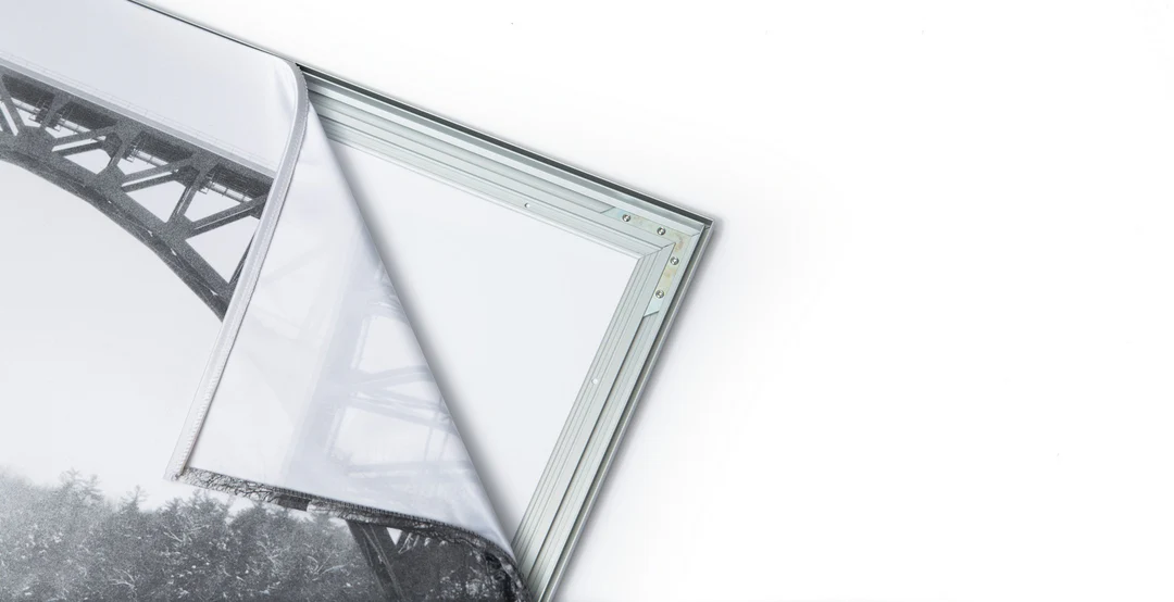
The image is printed on a durable fabric, which is stretched inside a slim aluminum frame. It’s transportable, interchangeable, and easy to assemble. Our infinity frame pieces for large sized prints will lend a “wow” factor to your space.

Better than Canvas
The colors in our fabric prints are crisp and true to life, with a matte, glare-free finish. With our printing process, the colors permeate the fabric, rather than settling on top, which reduces the risk of scratching or fading. Your art will last a long time!

Easy to Install
Assemble the frame in minutes, insert the fabric print into the grooves, and your art is ready to hang!

Statement Piece
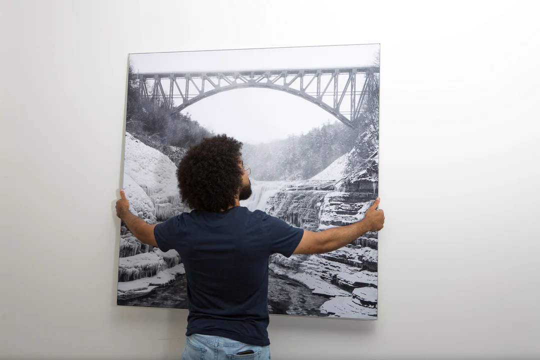
Easy and modern way to display large art in your home or office


