More Information
An exceptionally attractive military plan of Paris dating to 1886. Issued by the French mapping bureau, the Depot de la Guerre, this extremely detailed chart covers the vicinity of Paris from the Foret de Carnelle in the north to Versailles in the south and from Meulan in the west to Chessy in the east. Paris proper appears in the at the bottom center. Shows the Enbastillement of Paris in the form of the city walls and the various ring forts. The detail throughout is nothing short of extraordinary with garden paths and individual buildings identified. This map was published in 1886, one year before the Depot de la Guerre was disbanded and is therefore one of the last such maps produced by the Depot.
Related Products
What our customers are saying
What is Infinity Framing?

Wow Factor
Infinity frame
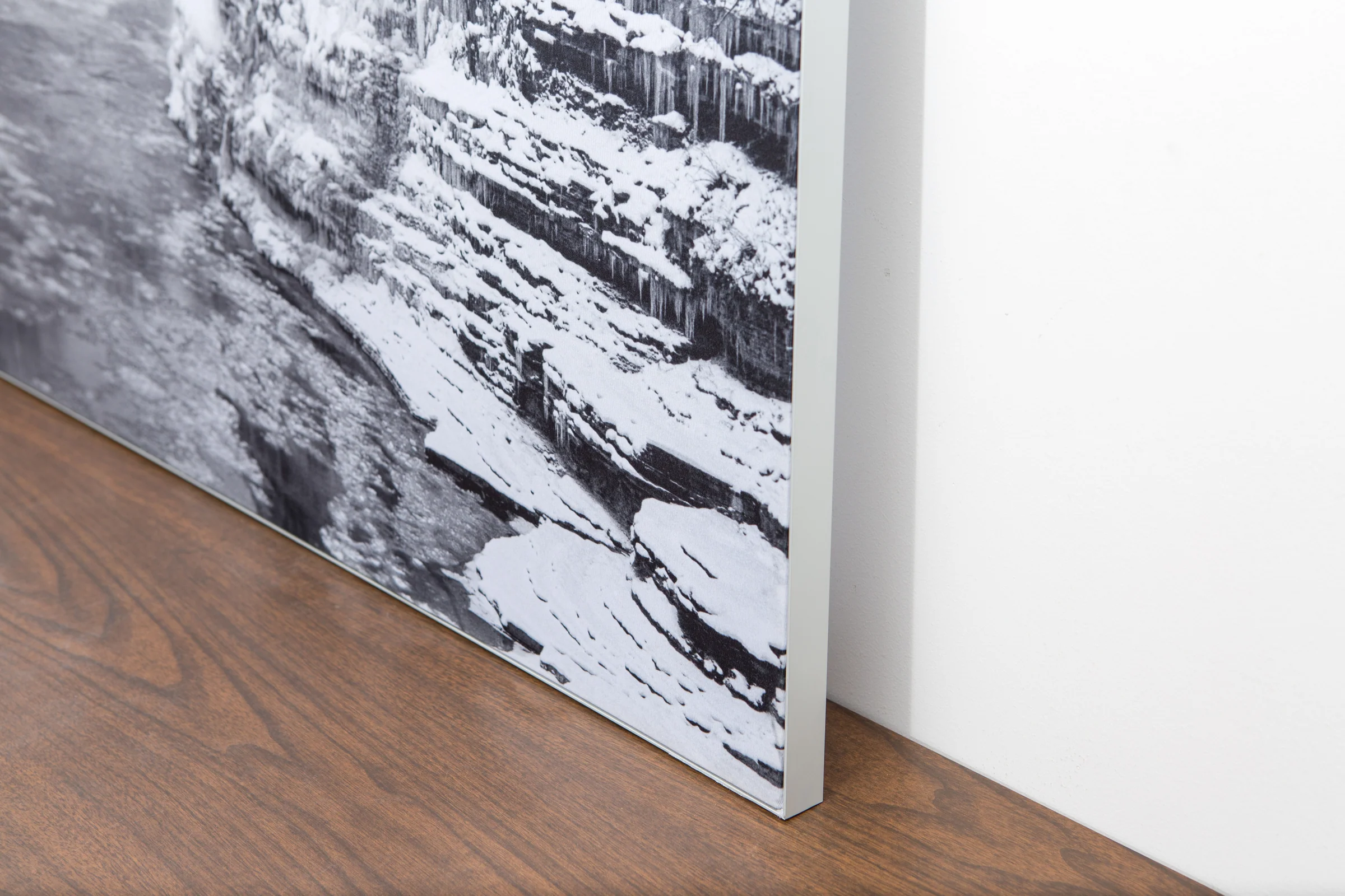
The image is printed on a durable fabric, which is stretched inside a slim aluminum frame. It’s transportable, interchangeable, and easy to assemble. Our infinity frame pieces for large sized prints will lend a “wow” factor to your space.

Better than Canvas
The colors in our fabric prints are crisp and true to life, with a matte, glare-free finish. With our printing process, the colors permeate the fabric, rather than settling on top, which reduces the risk of scratching or fading. Your art will last a long time!

Easy to Install
Assemble the frame in minutes, insert the fabric print into the grooves, and your art is ready to hang!

Statement Piece
Easy and modern way to display large art in your home or office


