More Information
A scarce and stunning bird's eye view style pocket map of New England issued in 1908 by the New England Street Railway Club. Reveals New England centered around Boston. Extends north as far as Lewistown, Brunswick and Yarmouth; south to Narraganset Bay, Newport and New Bedford; and west as far as Worcester. Shows train and trolley routes throughout the region. Also notes various light houses, historic sites, geographical features, and cities. Popular routes are highlighted with inset maps, these include: Springfield-Turners Falls, Worcester-Springfield, Springfield-New York City, Pittsfield and Vicinity, Rochester-Nashua, Portsmouth-Lewiston, and a triangle route from Worchester to Providence to New London and back. Overview of the Boston area appears in the upper left corner.
Related Products
What our customers are saying
What is Infinity Framing?

Wow Factor
Infinity frame
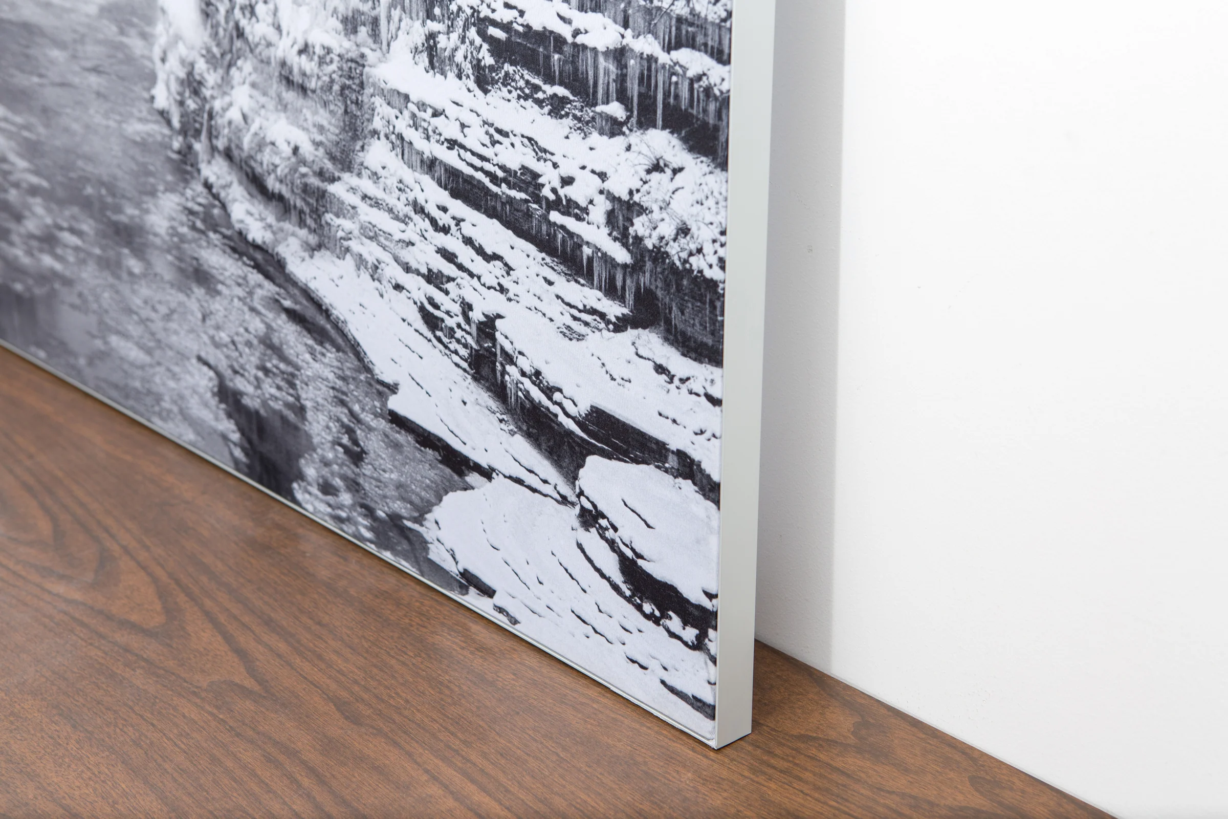
The image is printed on a durable fabric, which is stretched inside a slim aluminum frame. It’s transportable, interchangeable, and easy to assemble. Our infinity frame pieces for large sized prints will lend a “wow” factor to your space.

Better than Canvas
The colors in our fabric prints are crisp and true to life, with a matte, glare-free finish. With our printing process, the colors permeate the fabric, rather than settling on top, which reduces the risk of scratching or fading. Your art will last a long time!

Easy to Install
Assemble the frame in minutes, insert the fabric print into the grooves, and your art is ready to hang!

Statement Piece
Easy and modern way to display large art in your home or office


