


Map of the United States. | Standard Atlas Of Dawson County Nebraska. Including A Plat Book Of The Villages, Cities And Townships Of The County ... Compiled and Published By Geo. A. Ogle & Co. Publishers & Engravers. 134 Van Buren St. Chicago. 1904. | The George Ogle Company produced over 500 county atlases between 1892 and 1823, using the wax engraving process. Photographic views and portraits replace the lithographed hand drawn versions of earlier county atlases. Cram maps of the relevant state, the U.S. and the World are in the back of the atlas, along with world histories, a Patron's Directory, and descriptions of the U.S. land surveys and civil government. Dawson County is on the Platte River, and many of the maps show interesting features along it. Full printed color.
Wow Factor
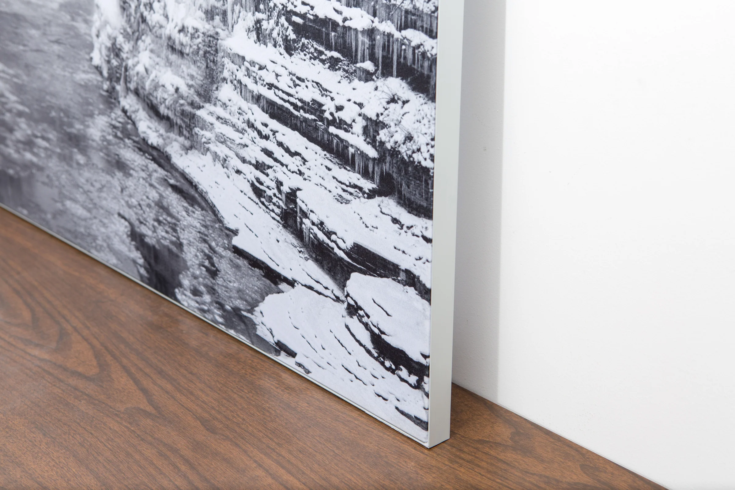
The image is printed on a durable fabric, which is stretched inside a slim aluminum frame. It’s transportable, interchangeable, and easy to assemble. Our infinity frame pieces for large sized prints will lend a “wow” factor to your space.

The colors in our fabric prints are crisp and true to life, with a matte, glare-free finish. With our printing process, the colors permeate the fabric, rather than settling on top, which reduces the risk of scratching or fading. Your art will last a long time!

Assemble the frame in minutes, insert the fabric print into the grooves, and your art is ready to hang!

Easy and modern way to display large art in your home or office


