More Information
Arnold Hague's 1904 topographical survey map of the spectacular Yellowstone Lake Region of the Yellowstone National Park, Wyoming. The map covers from the Absaroka Range to the Big Game Ridge and from the lower half of the Yellowstone Lake southward, along the Yellowstone River, as far as the Two Ocean pass. Situated at at over 7000 feet, Yellowstone Lake is the largest high altitude lake in the United States. The map further identifies various creeks and other sites of interest throughout. The boundary line between Yellowstone National Park and Yellowstone Forest Reserve runs along the breath of the map on the bottom. This particular map was part of Hague's study of the regions unique geology and the related geothermal activity. Published by the United States Geological Survey in 1904.
Related Products
What our customers are saying
What is Infinity Framing?

Wow Factor
Infinity frame
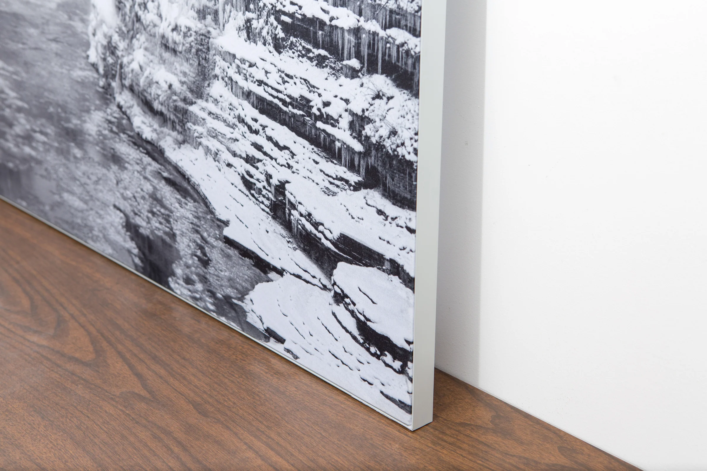
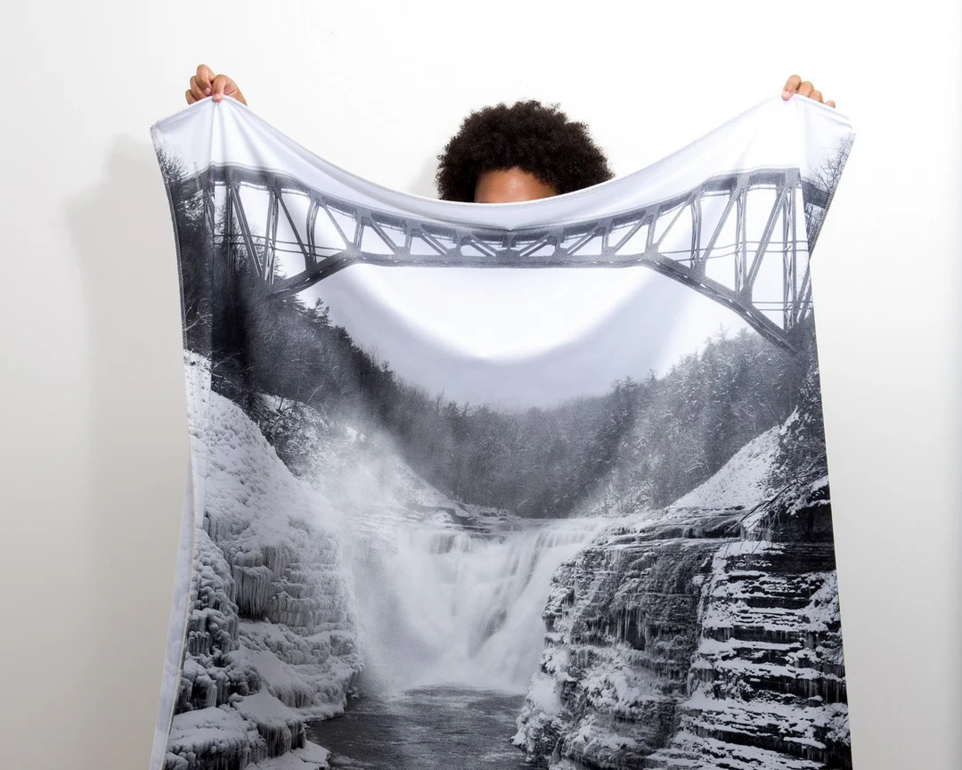
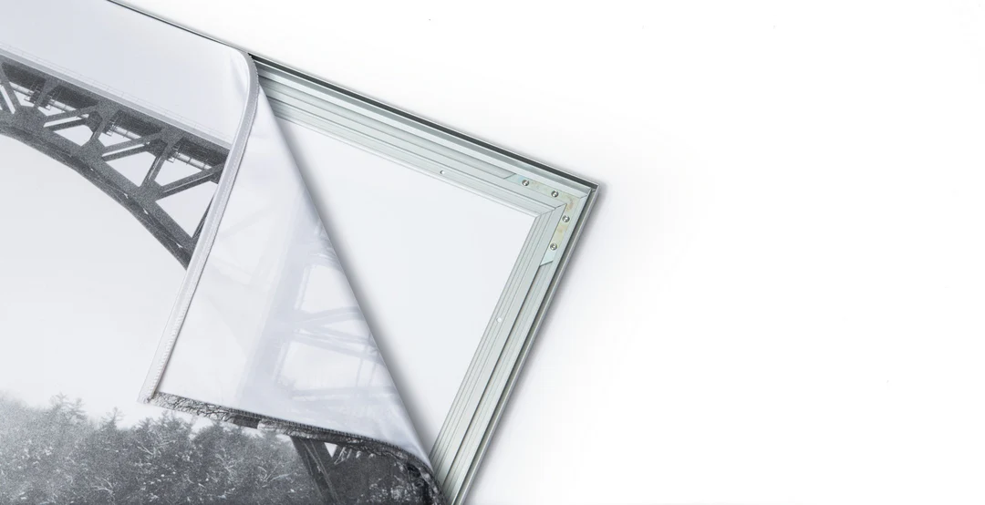
The image is printed on a durable fabric, which is stretched inside a slim aluminum frame. It’s transportable, interchangeable, and easy to assemble. Our infinity frame pieces for large sized prints will lend a “wow” factor to your space.

Better than Canvas
The colors in our fabric prints are crisp and true to life, with a matte, glare-free finish. With our printing process, the colors permeate the fabric, rather than settling on top, which reduces the risk of scratching or fading. Your art will last a long time!

Easy to Install
Assemble the frame in minutes, insert the fabric print into the grooves, and your art is ready to hang!

Statement Piece
Easy and modern way to display large art in your home or office


