More Information
This is Johnson's 1865 map of Japan. Compiled by A. J. Johnson from the map of Siebold with additions from the surveys and reconnaissance of the U.S. Japan expedition. This map covers the Japanese Islands from Kiusiu north to Yesso (Hokkaido). An inset map in the upper right focuses on Hokkaido or Yesso and the Japanese Kuriles. Another inset in the lower right quadrant details the Bay of Nagasaki. Various towns, cities, rivers and several other topographical features are noted with relief shown by hachure.
Japan at this time was passing through the declining years of the Tokugawa Shogunate. Japan's centuries of relative isolation ended with Commodore Perry's historic opening of Japan in 1854. Its first embassy to the United Stated followed in 1860, culminating in the ratification of the Treaty of Amity and Commerce, which would herald a rise in western, particularly American, influence on Japanese culture and politics.
The map features the fretwork style border common to Johnson's atlas work from 1863 to 1869. This map was published by Johnson and Ward as plate no. 98 in the 1865 edition of his New Illustrated Family Atlas of the World.
Related Products
What our customers are saying
What is Infinity Framing?

Wow Factor
Infinity frame
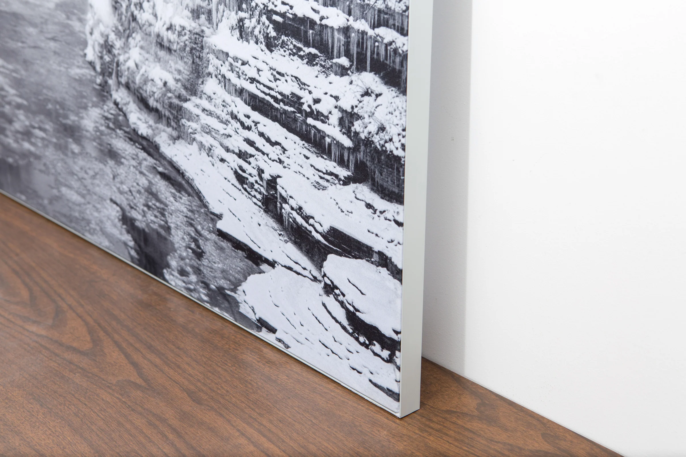
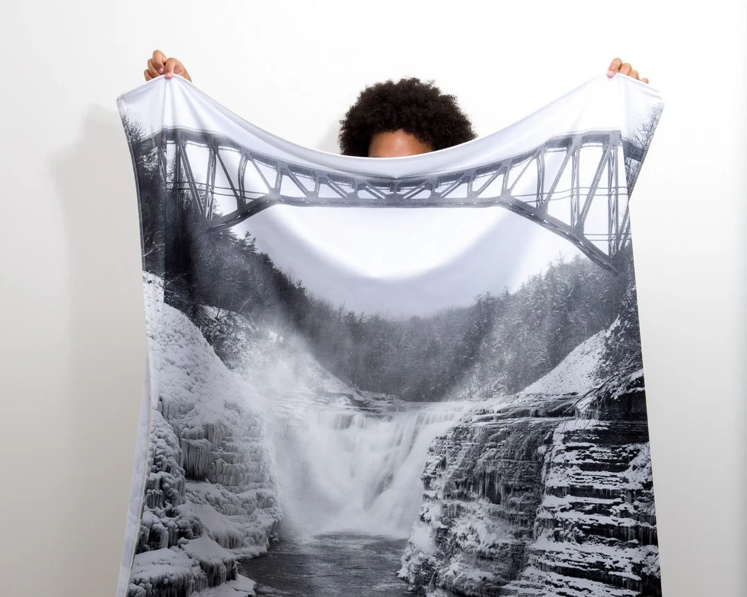
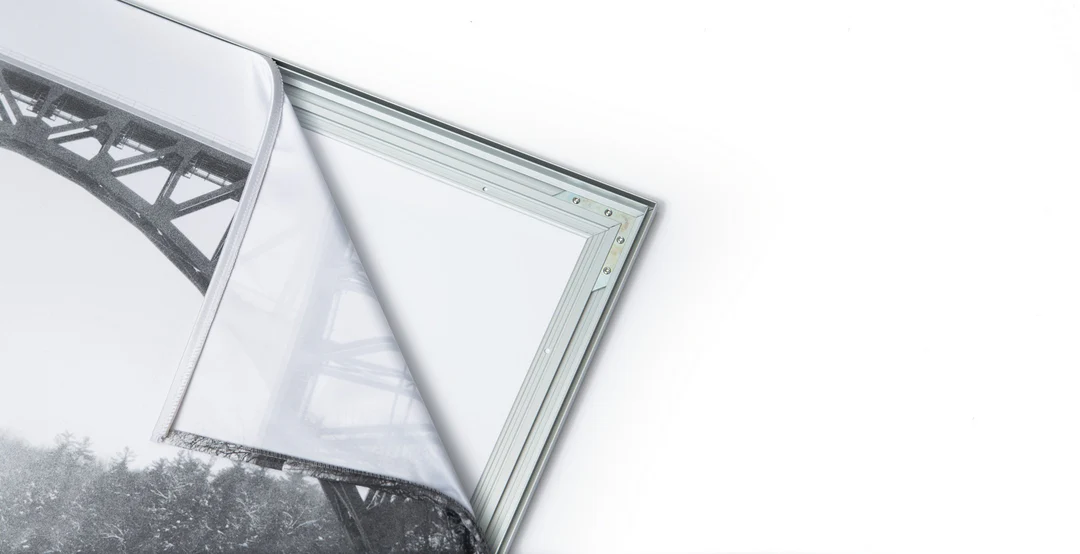
The image is printed on a durable fabric, which is stretched inside a slim aluminum frame. It’s transportable, interchangeable, and easy to assemble. Our infinity frame pieces for large sized prints will lend a “wow” factor to your space.

Better than Canvas
The colors in our fabric prints are crisp and true to life, with a matte, glare-free finish. With our printing process, the colors permeate the fabric, rather than settling on top, which reduces the risk of scratching or fading. Your art will last a long time!

Easy to Install
Assemble the frame in minutes, insert the fabric print into the grooves, and your art is ready to hang!

Statement Piece
Easy and modern way to display large art in your home or office


