More Information
This is a rare 1579 Abraham Ortelius map of the French department of Pas-de-Calais. It covers the French and Belgian coastline from Estables to Calais. This area is known for producing Maroilles, a soft cheese made from cow's milk and with a washed rind. Cartographically based upon a four sheet map issued by Nicholas de Nicolay in 1558, it features a decorative title cartouche in the lower left quadrant. Shows the region in wonderful detail with attention to forests, cities, rivers, villages and other topographical features. Published in Antwerp by A. Ortelius in 1579 for issue in his seminal atlas Theatrum Orbis Terrarum.
Related Products
What our customers are saying
What is Infinity Framing?

Wow Factor
Infinity frame
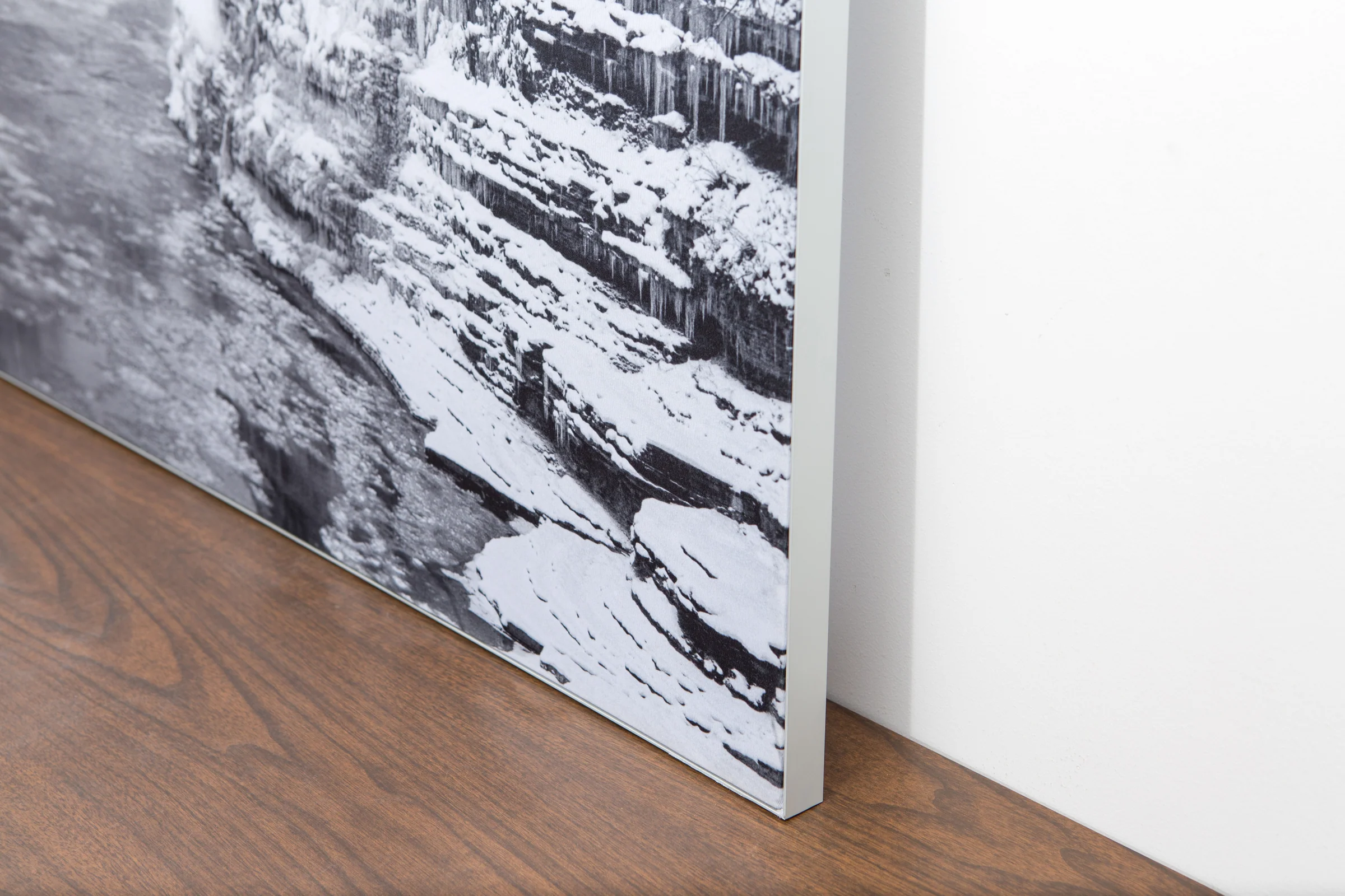
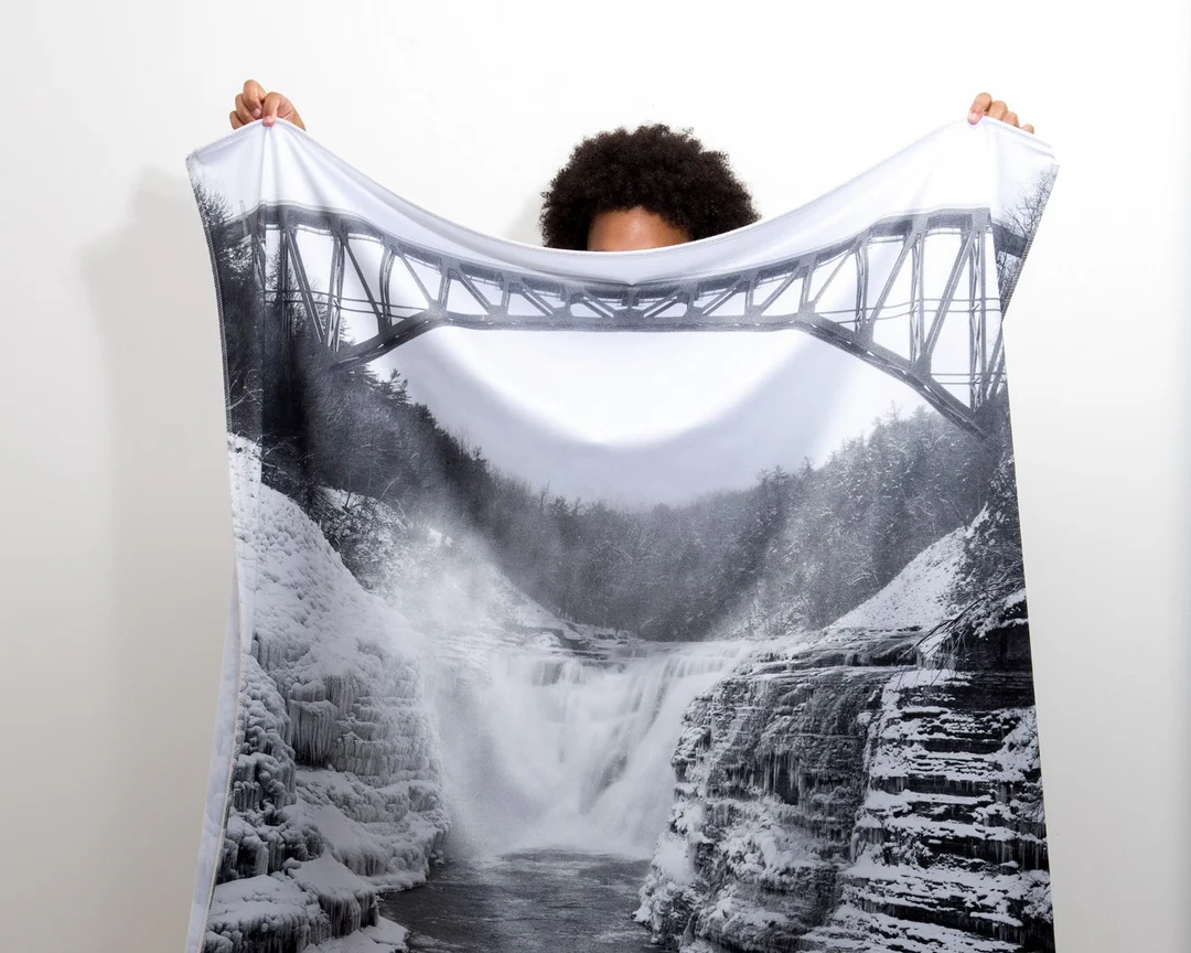
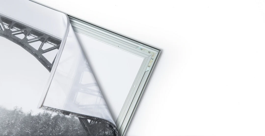
The image is printed on a durable fabric, which is stretched inside a slim aluminum frame. It’s transportable, interchangeable, and easy to assemble. Our infinity frame pieces for large sized prints will lend a “wow” factor to your space.

Better than Canvas
The colors in our fabric prints are crisp and true to life, with a matte, glare-free finish. With our printing process, the colors permeate the fabric, rather than settling on top, which reduces the risk of scratching or fading. Your art will last a long time!

Easy to Install
Assemble the frame in minutes, insert the fabric print into the grooves, and your art is ready to hang!

Statement Piece
Easy and modern way to display large art in your home or office


