More Information
This is an attractive example of the 1709 Guillaume De L'isle topographical map of the Diocese of Senlis, France. It covers the region north of Paris from Pont-Sainte-Main xence south to Dammartin-en-Goele and from Gouvieuin x east as far as Bonneuil-en-Valois. The map renders the entire region in extraordinary detail offering both topographical and political information with forests and cities beautifully rendered in profile. The map also notes several abbeys, priories, water mills and wind mills and Roman roads. The towns of Senlis, Crepy-en-Valois, Creil, Dammartin-en-Goele, Pont-Sainte-Main xence, Chantilly and Betz are identified. The region lies in the Oise department of France and is part of the Picardy region of France. The map includes two insets in the lower left and right quadrant featuring a 'Plan de Crespy' and 'Plan de la Ville de Senlis' respectively. An alphabetical table listing the places in the Diocese of Senlis is featured along the left and right borders. The top of the map includes the title along with the coat of arms of Senlis while the bottom features a key, a scale as well as an 'avertissement.' This map was created by Guillaume de L'isle in 1709.
Related Products
What our customers are saying
What is Infinity Framing?

Wow Factor
Infinity frame
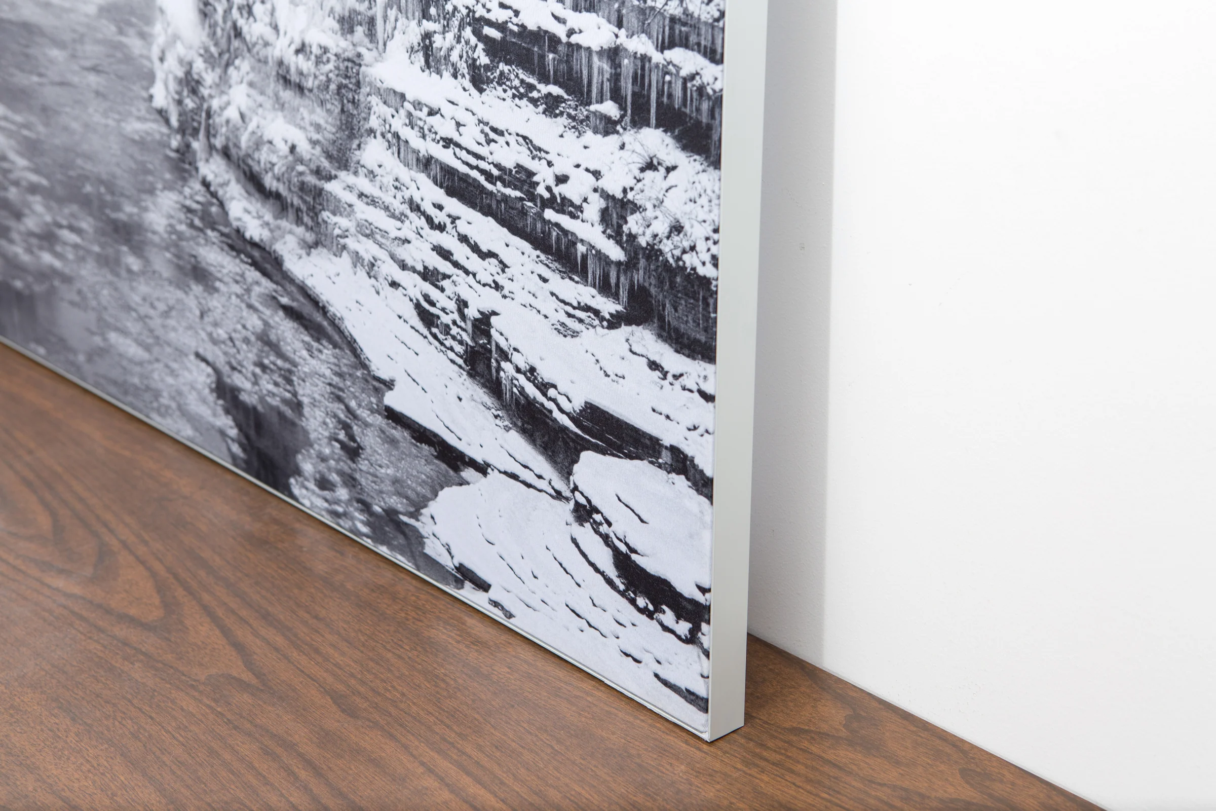
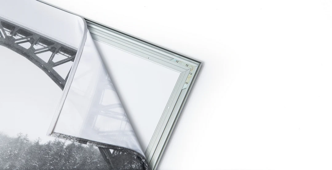
The image is printed on a durable fabric, which is stretched inside a slim aluminum frame. It’s transportable, interchangeable, and easy to assemble. Our infinity frame pieces for large sized prints will lend a “wow” factor to your space.

Better than Canvas
The colors in our fabric prints are crisp and true to life, with a matte, glare-free finish. With our printing process, the colors permeate the fabric, rather than settling on top, which reduces the risk of scratching or fading. Your art will last a long time!

Easy to Install
Assemble the frame in minutes, insert the fabric print into the grooves, and your art is ready to hang!

Statement Piece
Easy and modern way to display large art in your home or office


