More Information
This is a fine 1753 map of northern European Russia by Robert de Vaugondy. It covers the northwestern part of Russia from the Gulf of Finland east to the Ural Mountains and from Finland south to Moscow, including modern day Estonia, Latvia and Finland. This extremely detailed map notes important cities, towns, rivers, mountains, roads and a host of additional topographic features. The Ural Mountains are identified here as ' Monts Payas.'
A beautifully engraved title cartouche adorns the top left quadrant of the map. Drawn by Robert de Vaugondy in 1753 and published in the 1757 issue of his Atlas Universal. The Atlas Universal was one of the first atlases based upon actual surveys. Therefore, this map is highly accurate (for the period) and has most contemporary town names correct, though historic names are, in many cases, incorrect or omitted.
Related Products
What our customers are saying
What is Infinity Framing?

Wow Factor
Infinity frame
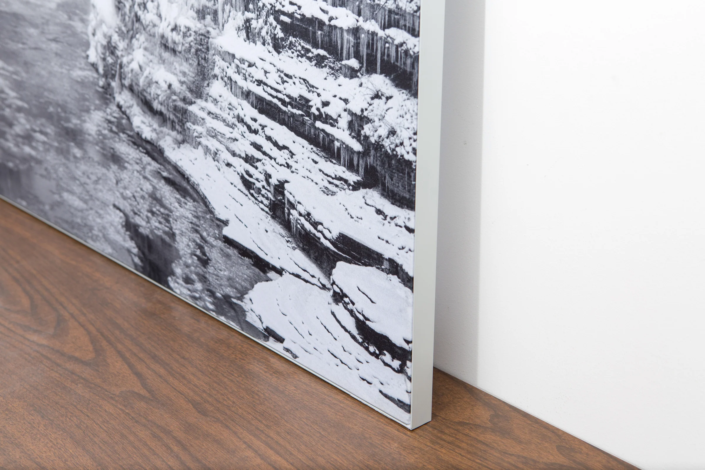
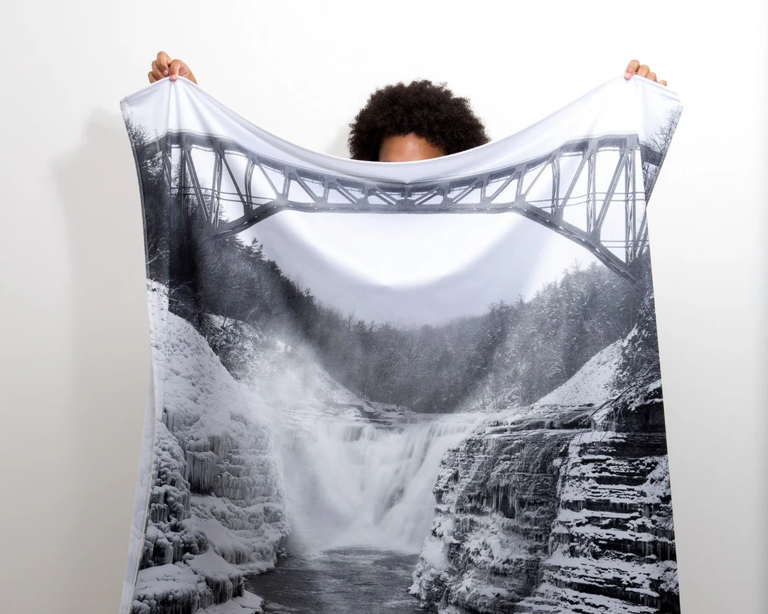
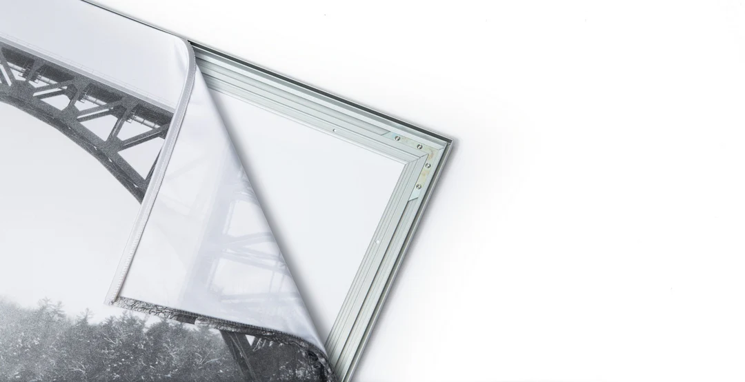
The image is printed on a durable fabric, which is stretched inside a slim aluminum frame. It’s transportable, interchangeable, and easy to assemble. Our infinity frame pieces for large sized prints will lend a “wow” factor to your space.

Better than Canvas
The colors in our fabric prints are crisp and true to life, with a matte, glare-free finish. With our printing process, the colors permeate the fabric, rather than settling on top, which reduces the risk of scratching or fading. Your art will last a long time!

Easy to Install
Assemble the frame in minutes, insert the fabric print into the grooves, and your art is ready to hang!

Statement Piece
Easy and modern way to display large art in your home or office


