More Information
An unusual and beautiful 1823 manuscript map of The Ancient World, including Asia, europe and Africa. The map generally follows the historical atlas work of the english cartographer James Wyld however is a fully independent and unique hand rendered production. The manuscript geographical data and detail throughout is altogether outstanding and completed in a fine hand adept at decorative text and the rendering of rivers and mountains.
The map shows the world of classical antiquity from the Atlantic Ocean to Southeast Asia and from the Indian Ocean to the North Sea. It includes all of europe, Arabia, parts of Asia, including the Indian Subcontinent, and the northern parts of Africa. Color coding divides the ma by continent. Throughout there are interesting notations such as, in Africa, the 'Aethiopes Anthroophagi,' the city of Rapta identified by Ptolemy as the southernmost city, and the apocryphal Lune Montes in Africa
An altogether unique and wonderful one of a kind find.
Related Products
What our customers are saying
What is Infinity Framing?

Wow Factor
Infinity frame
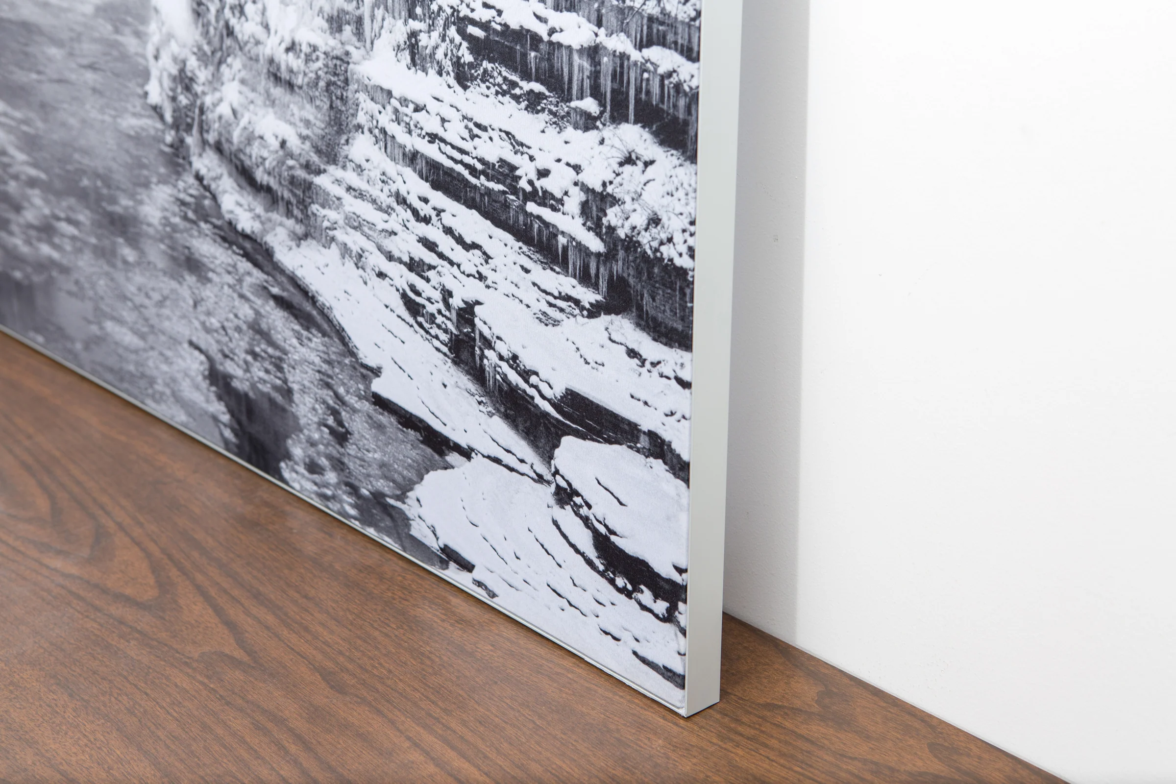
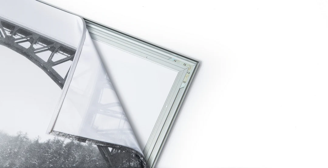
The image is printed on a durable fabric, which is stretched inside a slim aluminum frame. It’s transportable, interchangeable, and easy to assemble. Our infinity frame pieces for large sized prints will lend a “wow” factor to your space.

Better than Canvas
The colors in our fabric prints are crisp and true to life, with a matte, glare-free finish. With our printing process, the colors permeate the fabric, rather than settling on top, which reduces the risk of scratching or fading. Your art will last a long time!

Easy to Install
Assemble the frame in minutes, insert the fabric print into the grooves, and your art is ready to hang!

Statement Piece
Easy and modern way to display large art in your home or office


