More Information
This is a fine example of Adam and Charles Black's 1844 map of Chile, the Argentine Republic and part of Bolivia. It covers from Bolivia south to the Gulf of St. Antonio in Argentina and from the South Pacific Ocean inland as far as Montevideo and Brazil. Bolivia's claims to the Atacama Desert and Peru's claims to the Tarapaca region - both of which are today part of Chile, are shown. Various cities, towns, rivers and other topographical details are marked, with relief shown by hachure. Boundaries are color coded according to regions and territories.
In 1841, three years before this map was published, the newly independent country of Peru invaded Bolivia only to be defeated. Bolivia consequently attacked and captured the Peruvian port of Arica. The war would eventually end in 1842 when both countries signed a peace treaty.
This map was engraved by Sidney Hall and issued as plate no. LIII in the 1844 edition of Black's General Atlas.
Related Products
What our customers are saying
What is Infinity Framing?

Wow Factor
Infinity frame
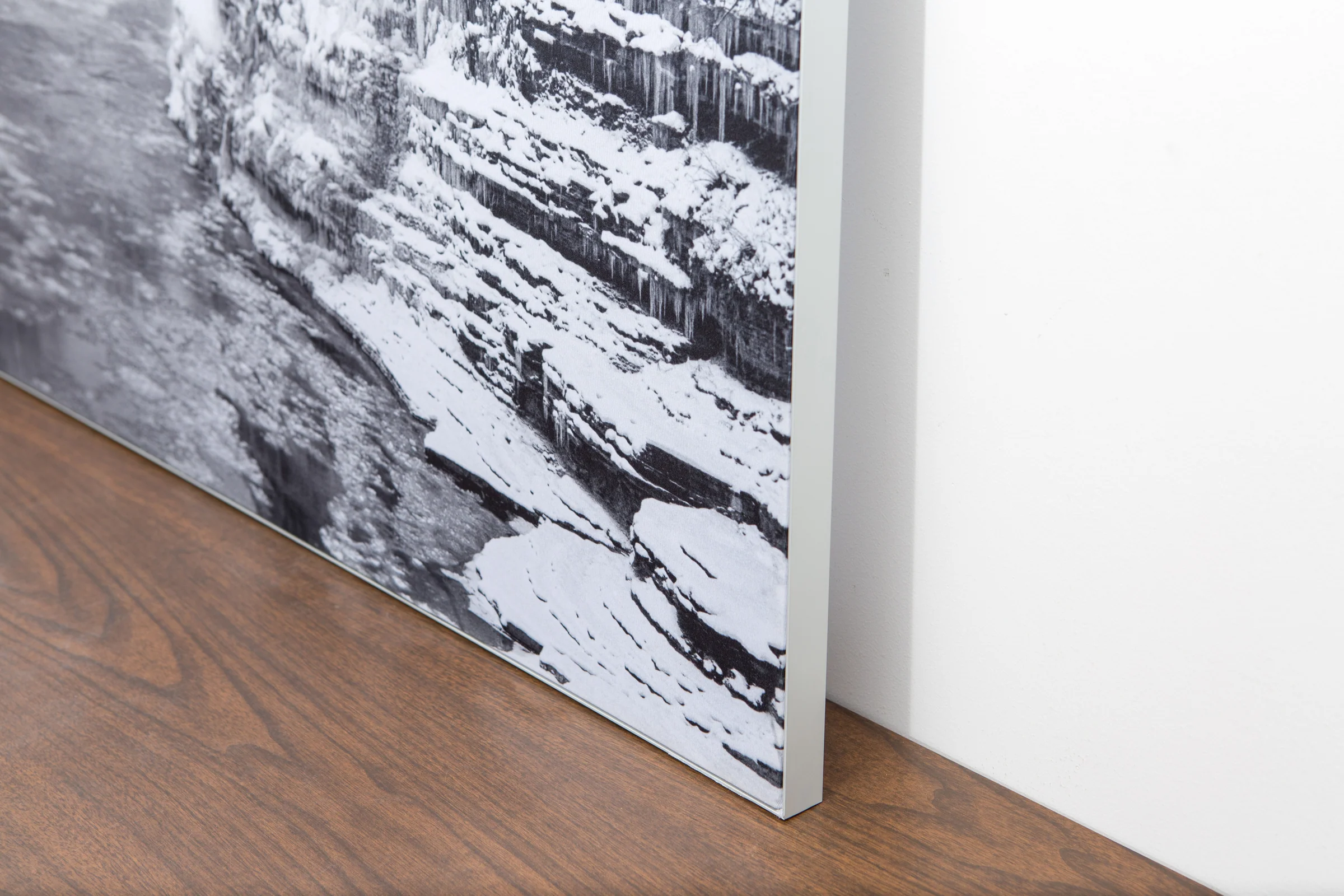
The image is printed on a durable fabric, which is stretched inside a slim aluminum frame. It’s transportable, interchangeable, and easy to assemble. Our infinity frame pieces for large sized prints will lend a “wow” factor to your space.

Better than Canvas
The colors in our fabric prints are crisp and true to life, with a matte, glare-free finish. With our printing process, the colors permeate the fabric, rather than settling on top, which reduces the risk of scratching or fading. Your art will last a long time!

Easy to Install
Assemble the frame in minutes, insert the fabric print into the grooves, and your art is ready to hang!

Statement Piece
Easy and modern way to display large art in your home or office


