More Information
XXXVII. Tabula Terre Nove. Depromta eae ed. Geographiae Ptolemaei Argentor. 1513, in folio. | Voyage de MM. Alexandre de Humboldt et Aime Bonpland. Atlas Geographique et Physique, pour Accompagner la Relation Historique. Sixieme livraison. Paris, J. Smith, Rue Montmorency, No. 16; Londres, Dulau et Compie., Soho-Square. 1831. Imprimerie de J. Smith. | "This atlas was issued as part of Humboldt and Bonpland's Voyage aux r�gions �quinoxiales du Nouveau Continent fait en 1799, 1800, 1801, 1802, 1803 et 1804 (Paris, 1808-1834), which was published in over thirty volumes over several decades�This atlas is important for many reasons, and its illustrations showed Europe and the entire world new scientific information for the first time. Humboldt's groundbreaking exploration of the Orinoco River, for example, is delineated on two maps, one of which was the first to establish the precise location of and to show the connection between Rio Orinoco and Rio Negro, a question that had baffled geographers for three centuries�The Orinoco river maps are supplemented by maps of other rivers, many accurately depicted for the first time. Also significant are the profiles and maps of mountain ranges, which are depicted with scientific precision showing new information in novel ways. Many of the profiles are dramatically hand colored� The dramatic volcano plates are supplemented by several large-scale maps, which are masterful depictions of land forms. These studies were crucial to Humboldt's later conclusions about the origin and nature of these natural structures and constitute one of his major contributions to the field of geology.
We print high quality reproductions of historical maps, photographs, prints, etc. Because of their historical nature, some of these images may show signs of wear and tear - small rips, stains, creases, etc. We believe that in many cases this contributes to the historical character of the item.
Related Products
What our customers are saying
What is Infinity Framing?

Wow Factor
Infinity frame
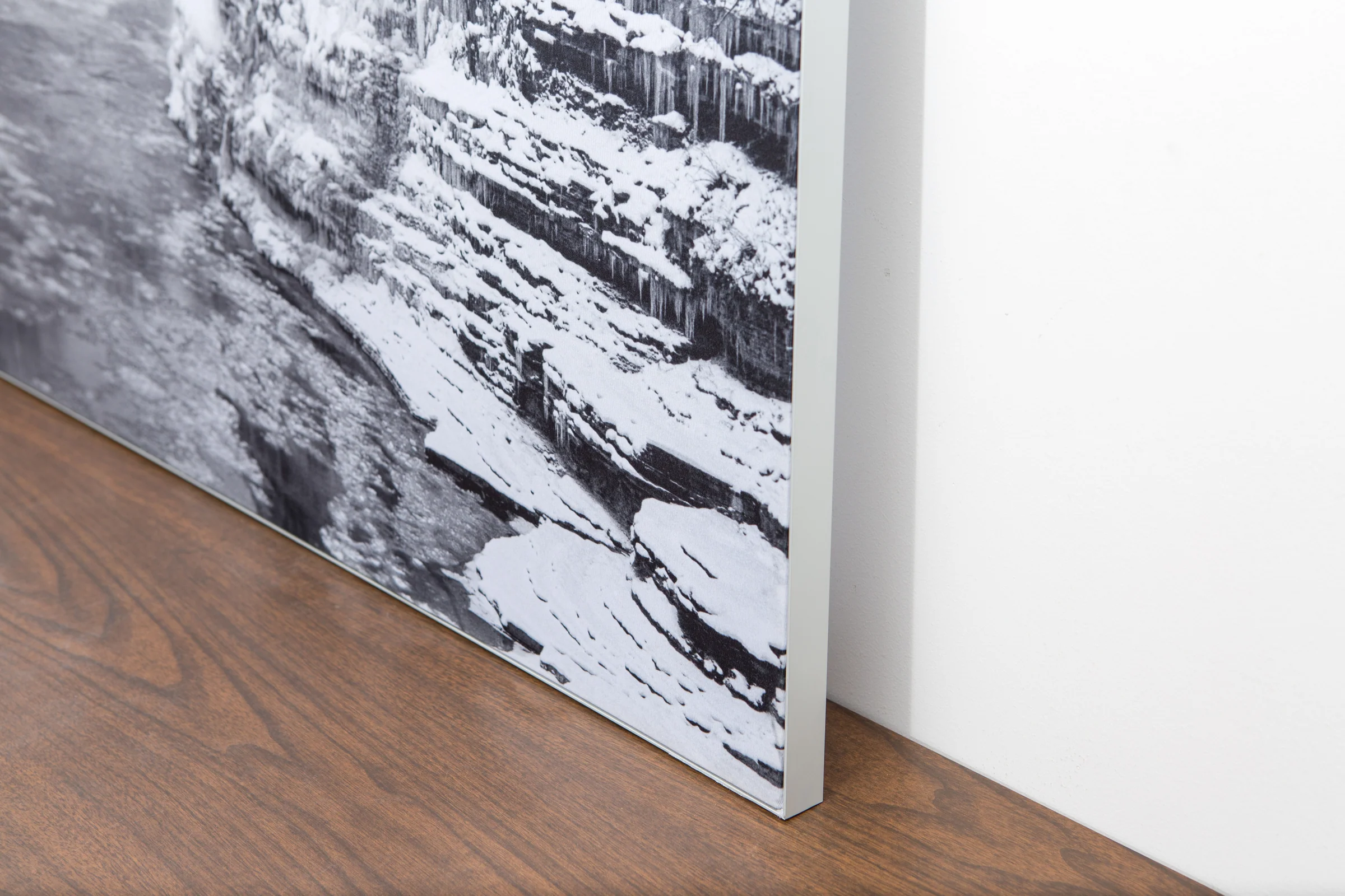
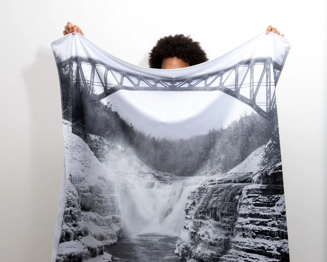
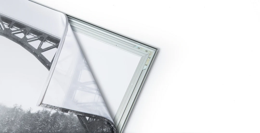
The image is printed on a durable fabric, which is stretched inside a slim aluminum frame. It’s transportable, interchangeable, and easy to assemble. Our infinity frame pieces for large sized prints will lend a “wow” factor to your space.

Better than Canvas
The colors in our fabric prints are crisp and true to life, with a matte, glare-free finish. With our printing process, the colors permeate the fabric, rather than settling on top, which reduces the risk of scratching or fading. Your art will last a long time!

Easy to Install
Assemble the frame in minutes, insert the fabric print into the grooves, and your art is ready to hang!

Statement Piece
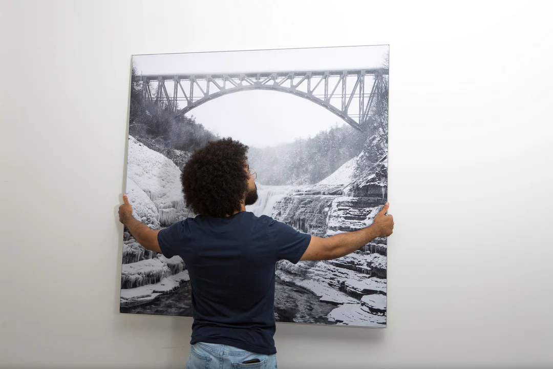
Easy and modern way to display large art in your home or office


