More Information
This is a nice example of the 1946 topographical survey chart or map of the beautiful Glacier National Park in British Columbia, Canada. The map covers the entire park and its vicinity, famous for large active glaciers and Canada's largest cave systems, and extends from Mount Revelstoke National Park east to Spillimacheen Range. Throughout, the map marks railroad lines, roads, trails, marshes, rapids, bridges, forests, glaciers, cliffs, streams, and other topographical features. Cabins, buildings, offices and mines are also noted. Two inset maps are included along the bottom margins.
The map was originally compiled, drawn and printed at the office of the Surveyor General, Ottawa based on the surveys of the Topographical Survey of Canada in 1934 and reissued with corrections in 1946. Issued as chart no. 82N/SW of the National Topographic Series by the Department of Mines and Resources, Surveys and Engineering Branch.
Related Products
What our customers are saying
What is Infinity Framing?

Wow Factor
Infinity frame
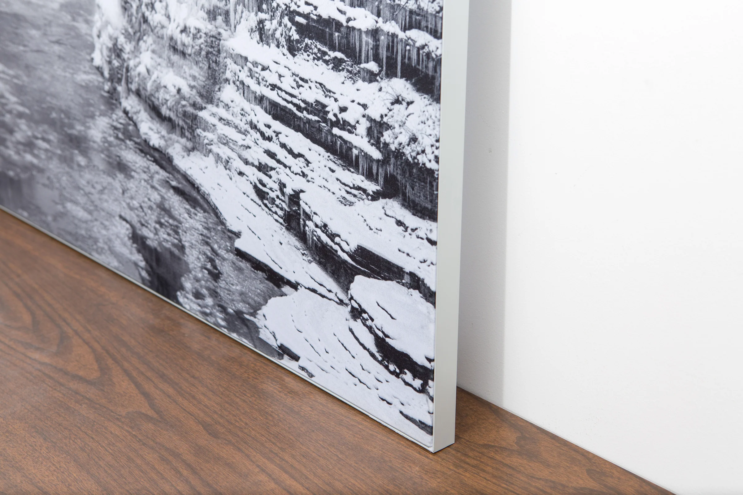
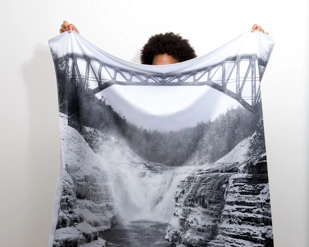
The image is printed on a durable fabric, which is stretched inside a slim aluminum frame. It’s transportable, interchangeable, and easy to assemble. Our infinity frame pieces for large sized prints will lend a “wow” factor to your space.

Better than Canvas
The colors in our fabric prints are crisp and true to life, with a matte, glare-free finish. With our printing process, the colors permeate the fabric, rather than settling on top, which reduces the risk of scratching or fading. Your art will last a long time!

Easy to Install
Assemble the frame in minutes, insert the fabric print into the grooves, and your art is ready to hang!

Statement Piece
Easy and modern way to display large art in your home or office


