More Information
This is Karl von Spruner's 1854 map of Germany's illustrating the region's ecclesiastical divisions in the 16th century. The map covers Germany from the Baltic Sea to Provincia Aquileiensis. During the High Middle Ages after 1517, Martin Luther, a German priest, led the Protestant Reformation against the Catholic Church. The northern states became protestant while the southern states remained Catholic, and would clash in the Thirty Year's War from 1618 to 1648, marking the end of the Holy Roman empire and dividing Germany into various autonomous states. The whole is rendered in finely engraved detail exhibiting throughout the fine craftsmanship of the Perthes firm. Prepared by Karl Spruner for publication as plate D in xIII in the second edition of Justus Perthes' 1854 Historich-Geographischer, Hand-Atlas zur Geschichte der Staaten europa's vom Anfang des Mittelalters bis auf die Neueste Zeit.
Related Products
What our customers are saying
What is Infinity Framing?

Wow Factor
Infinity frame
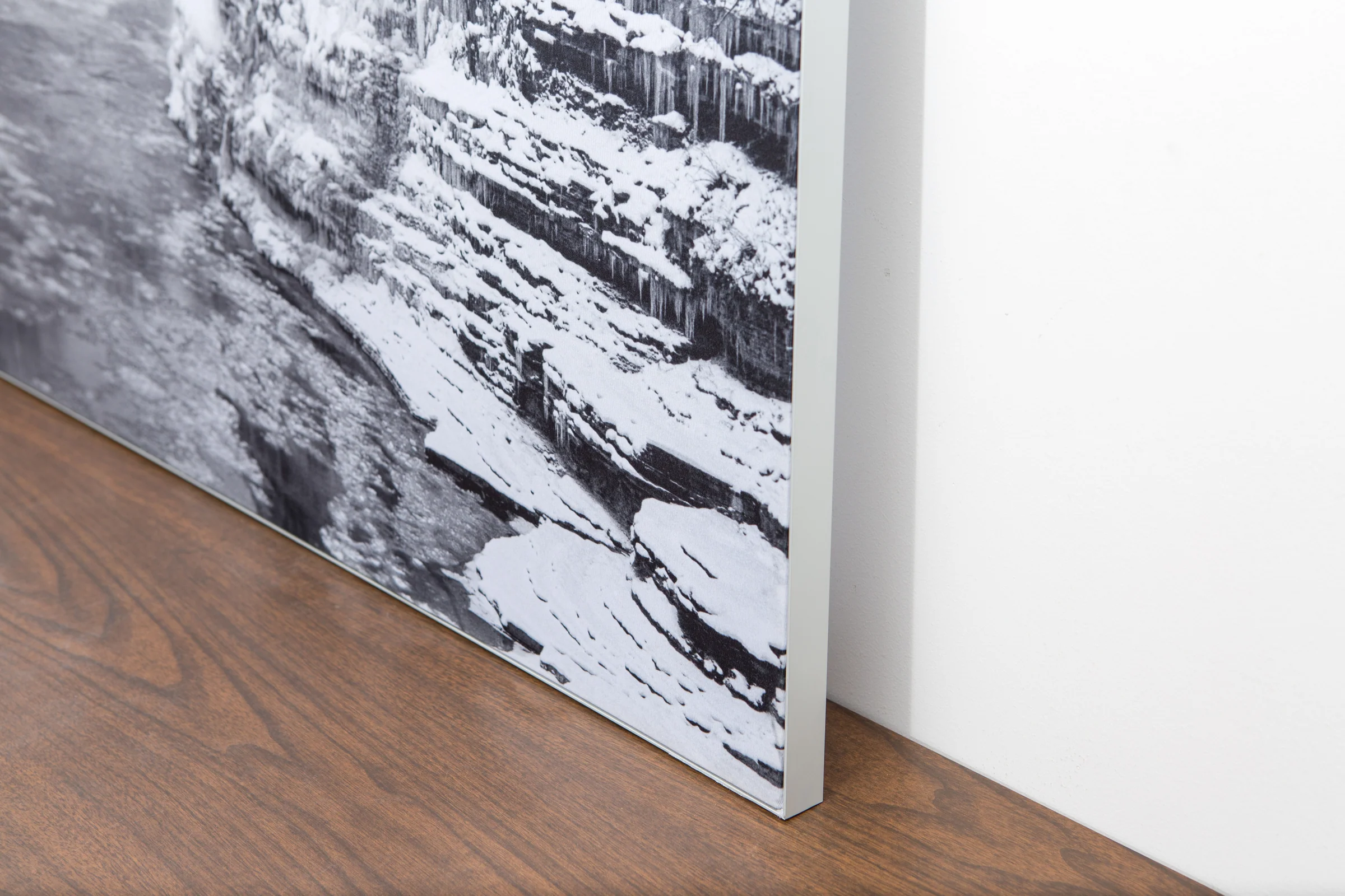
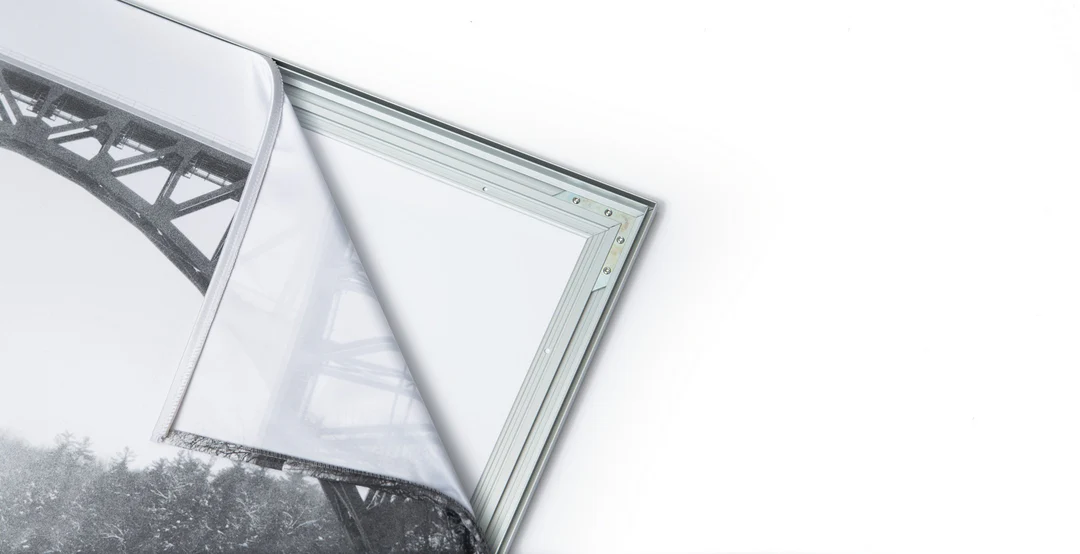
The image is printed on a durable fabric, which is stretched inside a slim aluminum frame. It’s transportable, interchangeable, and easy to assemble. Our infinity frame pieces for large sized prints will lend a “wow” factor to your space.

Better than Canvas
The colors in our fabric prints are crisp and true to life, with a matte, glare-free finish. With our printing process, the colors permeate the fabric, rather than settling on top, which reduces the risk of scratching or fading. Your art will last a long time!

Easy to Install
Assemble the frame in minutes, insert the fabric print into the grooves, and your art is ready to hang!

Statement Piece
Easy and modern way to display large art in your home or office


