Historic Map : Vaugondy Antique Map of European Turkey, Greece and The Balkans, 1755, Vintage Wall Art

Historic Map : Vaugondy Antique Map of European Turkey, Greece and The Balkans, 1755, Vintage Wall Art

Regular price$34.99
/
Size
Type
Mat

More Information

This is a beautiful map of Greece from De Vaugondy's 1752 Atlas Universal. Depicts the whole of Greece from Bosnia and Croatia east to through Bulgaria and Romania to the Black Sea and south through Macedonia, Albania and the Pelopenesus to the Isle of Candia or Crete. Includes Parts of Anatolia (Turkey) and the boot of Italy. When this map was drawn this region was dominated by the waning Ottoman hegemony. The Ottomans would nevertheless continue to exert a powerful influence on this region until the early 19th century.

the bottom left quadrant is decorated with an elaborate title cartouche. This map was drawn by Robert de Vaugondy in 1755 and published in the 1757 issue of his Atlas Universal. The Atlas Universal was one of the first atlases based upon actual surveys. Therefore, this map is highly accurate (for the period) and has most contemporary town names correct.

Sku: 5253795_1616__M03

What our customers are saying

★★★★★

I purchased an historic map, 16x24 inch. It is beautifully printed on heavy stock. The lettering, colors, and details of the map are crisp and easy to read. I am highly satisfied and would certainly purchase from Historic Pictoric again!

Kent A.
★★★★★

Ordered the Pan American Midway print to fit a lovely thrift-store gilded frame. I love showing off Buffalo's rich history and this is a pretty entertaining photo from 1901. Prompt shipping. Sturdy packaging.

Cindy O.
★★★★★

I received my print within days of ordering, and it arrived well packed in a mailing tube. The print is high quality and exactly as advertised. I will use Historic Pictoric again in the future!

Cheryl H.
★★★★★

Excellent product. Great fidelity in reproduction of the original. Fine/minute details were sharp, colors were vibrant, and thickness, texture and overall feel and quality of the paper were excellent. Very satisfied with my purchase.

Konrad B.
★★★★★

I have purchased six maps from Historic Pictoric. I find the quality to be excellent. Their customers service is also excellent. Outstanding! I called to exchange a few for different sizes and I could not have asked for a better experience.

Aaron C.
★★★★★

The original map I ordered lacked some of the detail that I had hoped for, but they responded with several more map possibilities to choose from. Excellent service- a far step beyond what anyone expects from online purchases.

Dan M.
★★★★★

I am a owner of 5 maps from Historic Pictoric. From Okinawa, 1945, Europe 1940-1945 battle maps. Now they’re helping me with the battle of Gettysburg. These maps are so much superior to the map on a page in a book. I have framed two of them.

Steven Ko
★★★★★

Great heavy paper quality and clarity of my nautical map. Will be a great addition to our home close to the beach!

Jennifer A

What is Infinity Framing?

Wow Factor

Infinity frame

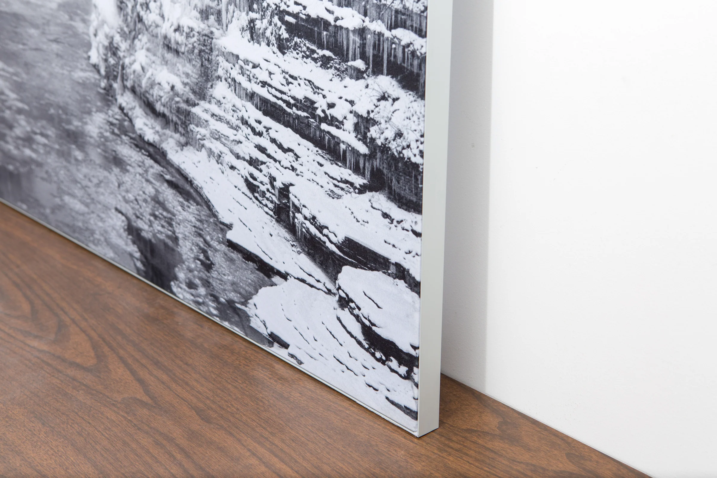
The image is printed on a durable fabric, which is stretched inside a slim aluminum frame. It’s transportable, interchangeable, and easy to assemble. Our infinity frame pieces for large sized prints will lend a “wow” factor to your space.

Better than Canvas

The colors in our fabric prints are crisp and true to life, with a matte, glare-free finish. With our printing process, the colors permeate the fabric, rather than settling on top, which reduces the risk of scratching or fading. Your art will last a long time!
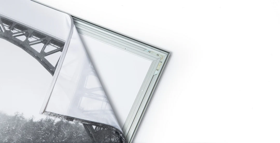
Easy to Install

Assemble the frame in minutes, insert the fabric print into the grooves, and your art is ready to hang!

Statement Piece

Easy and modern way to display large art in your home or office