More Information
This is a beautiful 1860 U.S. Coast Survey map or chart of the coast of the United States. The map covers the Atlantic Coast, the Gulf Coast and the Pacific coasts in beautiful detail. Divided into two sections, the large area extends from New Brunswick and the Gulf of St. Lawrence south to include the coasts of Maine, New Hampshire, Massachusetts, Connecticut, New York, New Jersey, Delaware, Maryland, Virginia, North Carolina, South Carolina, Georgia, Florida, Alabama, Mississippi, Louisiana and Texas. A smaller section shown as an inset depicts the Pacific Coast of the country on the same scale and extends south from the Strait of Juan de Fuca to include the coasts of Washington, Oregon and California as far as San Diego. The chart includes several statistics and notes.
Progress maps of this sort were made to illustrate work of the survey and accompanied the Superintendent of the Survey's annual report to Congress. Compiled under the direction of A. D. Bache, one of the U.S. Coast Survey's most influential and prolific superintendents, for issue in the 1860 edition of the Superintendent's Report.
Related Products
What our customers are saying
What is Infinity Framing?

Wow Factor
Infinity frame
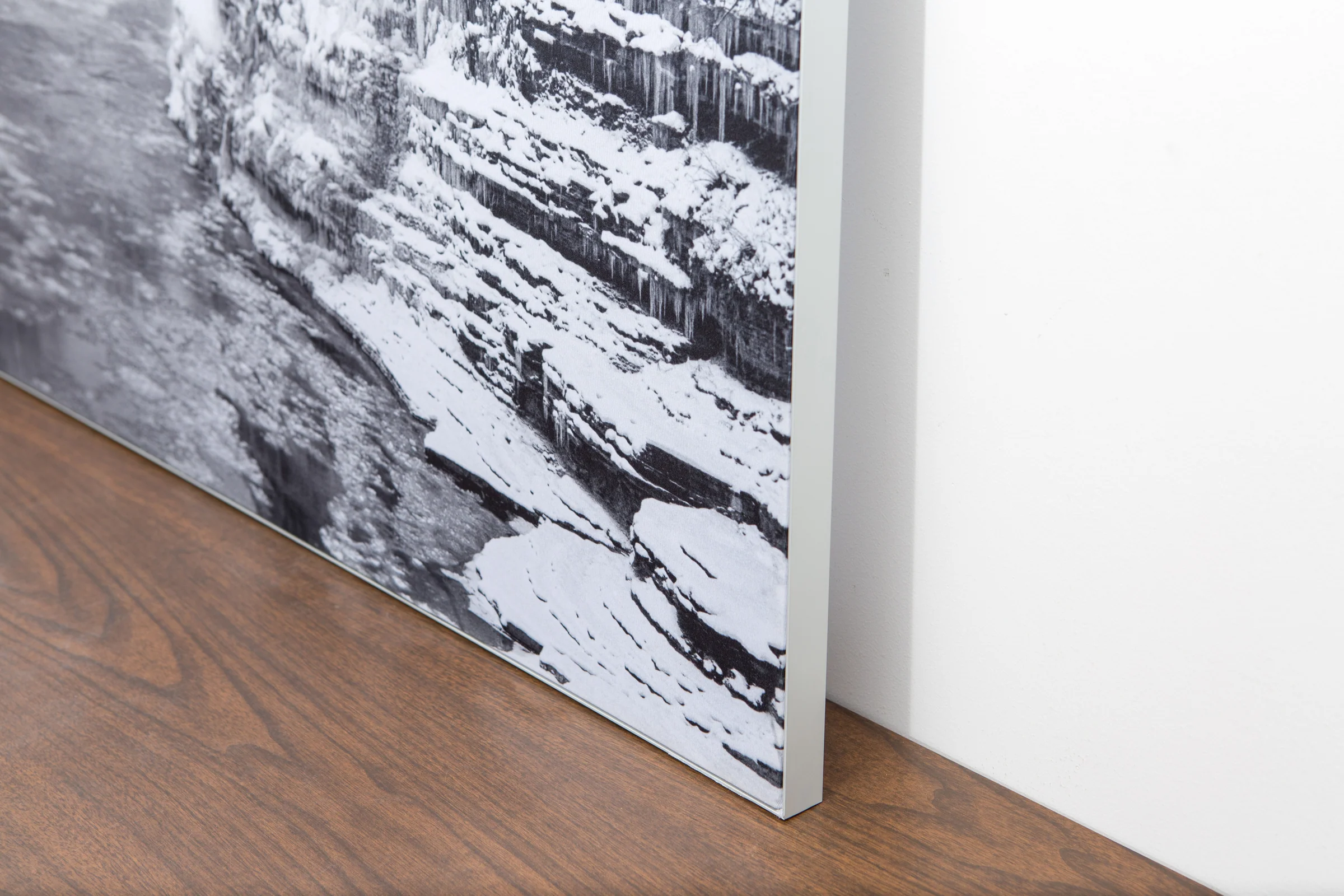
The image is printed on a durable fabric, which is stretched inside a slim aluminum frame. It’s transportable, interchangeable, and easy to assemble. Our infinity frame pieces for large sized prints will lend a “wow” factor to your space.

Better than Canvas
The colors in our fabric prints are crisp and true to life, with a matte, glare-free finish. With our printing process, the colors permeate the fabric, rather than settling on top, which reduces the risk of scratching or fading. Your art will last a long time!

Easy to Install
Assemble the frame in minutes, insert the fabric print into the grooves, and your art is ready to hang!

Statement Piece
Easy and modern way to display large art in your home or office


