More Information
This is a beautiful large geological map of Wisconsin, Iowa and Minnesota by the United States Geological Corps. It covers from the Missouri River east as far as Lake Michigan and from Osage River north to the Lake of the Woods. The map exhibits the extension of the Iowa coal-field into Missouri, and its relation to the Illinois coal-field. Part of Lake Superior is included. An inset map in the top right quadrant features the geological map of the north shore of Lake Superior
The map shows the distribution of the different types of rocks and geological formations along the river and its vicinity. A table of colors is included in the lower left quadrant of the map indicating the superficial sedimentary deposits and the fossiliferous strata from the Drift Period to the Lower Silarium Period.
This map was constructed for observations by the United States Geological Corps, under instructions from the Secretary of the Treasury by David Dale Owen, M.D., principal geologist. Assistant geologist J.G. Norwood, M.D supervised middle, northern and northeastern Minnesota while Col. Chas. Whittlesey supervising the greater part of the southern shore of Lake Superior in Wisconsin.
Related Products
What our customers are saying
What is Infinity Framing?

Wow Factor
Infinity frame
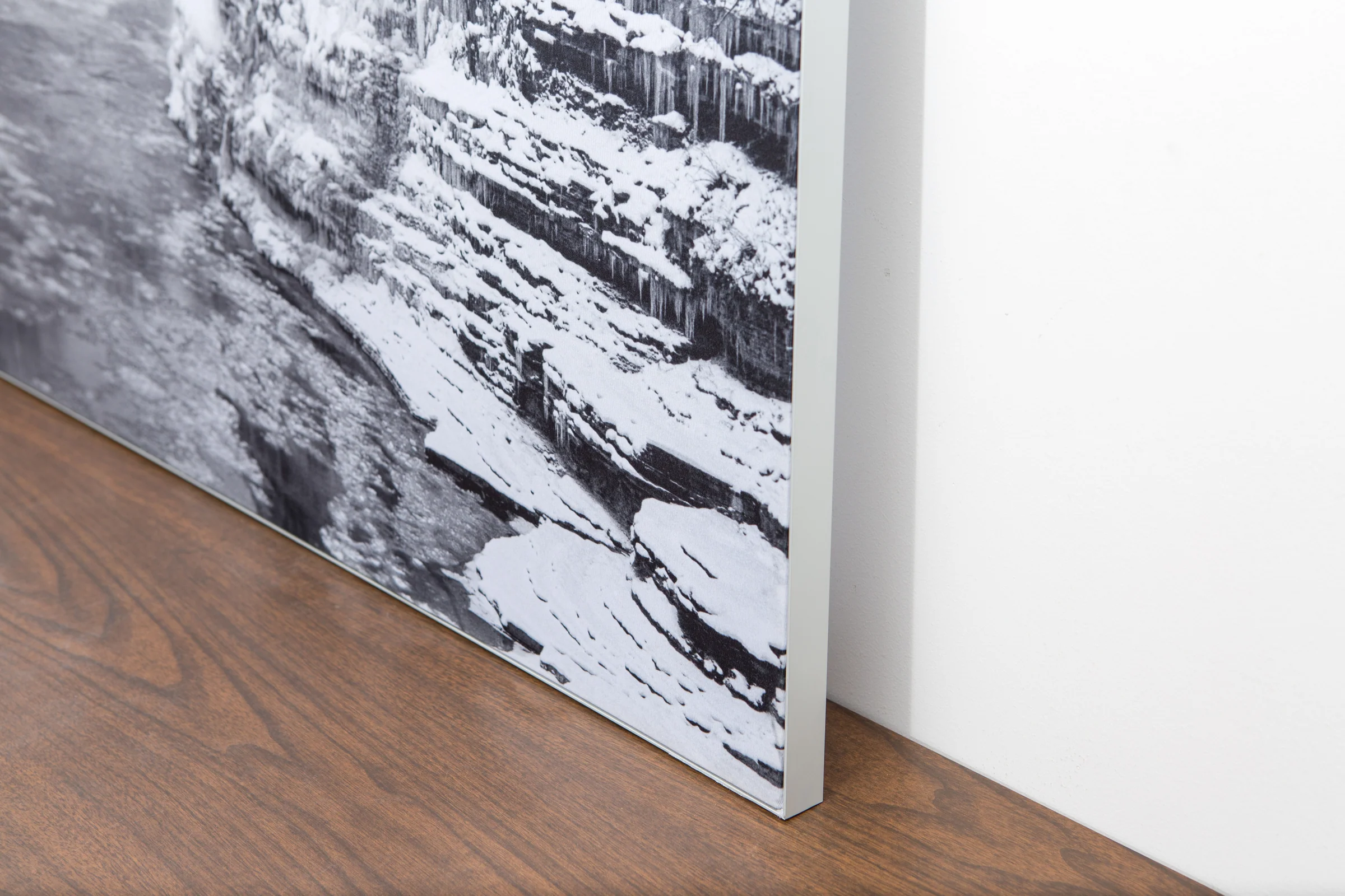
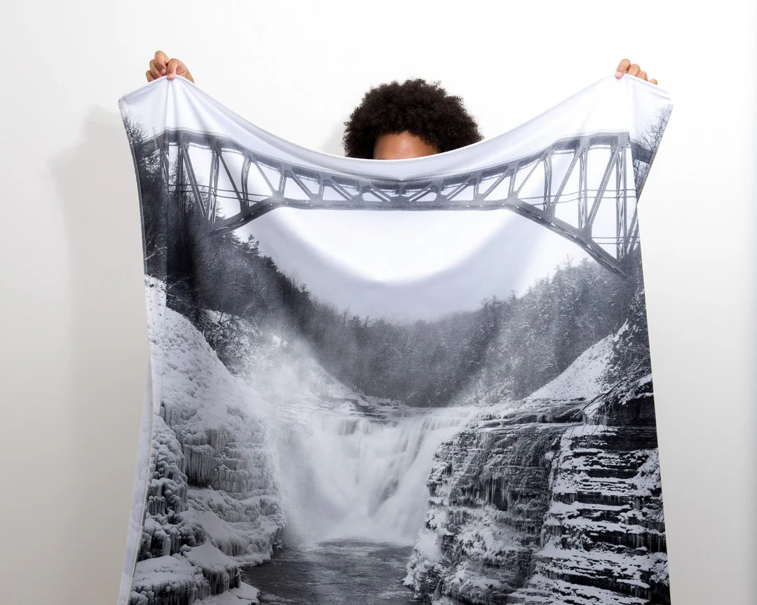
The image is printed on a durable fabric, which is stretched inside a slim aluminum frame. It’s transportable, interchangeable, and easy to assemble. Our infinity frame pieces for large sized prints will lend a “wow” factor to your space.

Better than Canvas
The colors in our fabric prints are crisp and true to life, with a matte, glare-free finish. With our printing process, the colors permeate the fabric, rather than settling on top, which reduces the risk of scratching or fading. Your art will last a long time!

Easy to Install
Assemble the frame in minutes, insert the fabric print into the grooves, and your art is ready to hang!

Statement Piece
Easy and modern way to display large art in your home or office


