More Information
An extremely attractive 1861 pocket or case map of London, england, by edward Stanford. Centered on the Thames River, Stanford's folding case map covers central London from Holloway to Blackwall and from Dulwich to Brook Green. early in the Victorian era, London in the 1860s witnessed a period of massive growth, fueled by the Industrial Revolution, general prosperity, and immigration associated with its vast global empire. This, combined with construction of London's many railroads in the 1850s and the opening of the first Underground in 1863, led to the construction of numerous suburbs, growing London's footprint enormously in a relatively short period.
The map identifies all major streets, bridges, important buildings, gentlemanly estates, municipal buildings, taverns, parks, and the site of the 'International exposition.' The map is color coded according to district, with a circle centered on Charing Cross establishing a 4 mile radius. Stanford first issued this map in 1860 with the present example being the second edition updated to reflect the completion of the Victoria Railroad.
Related Products
What our customers are saying
What is Infinity Framing?

Wow Factor
Infinity frame
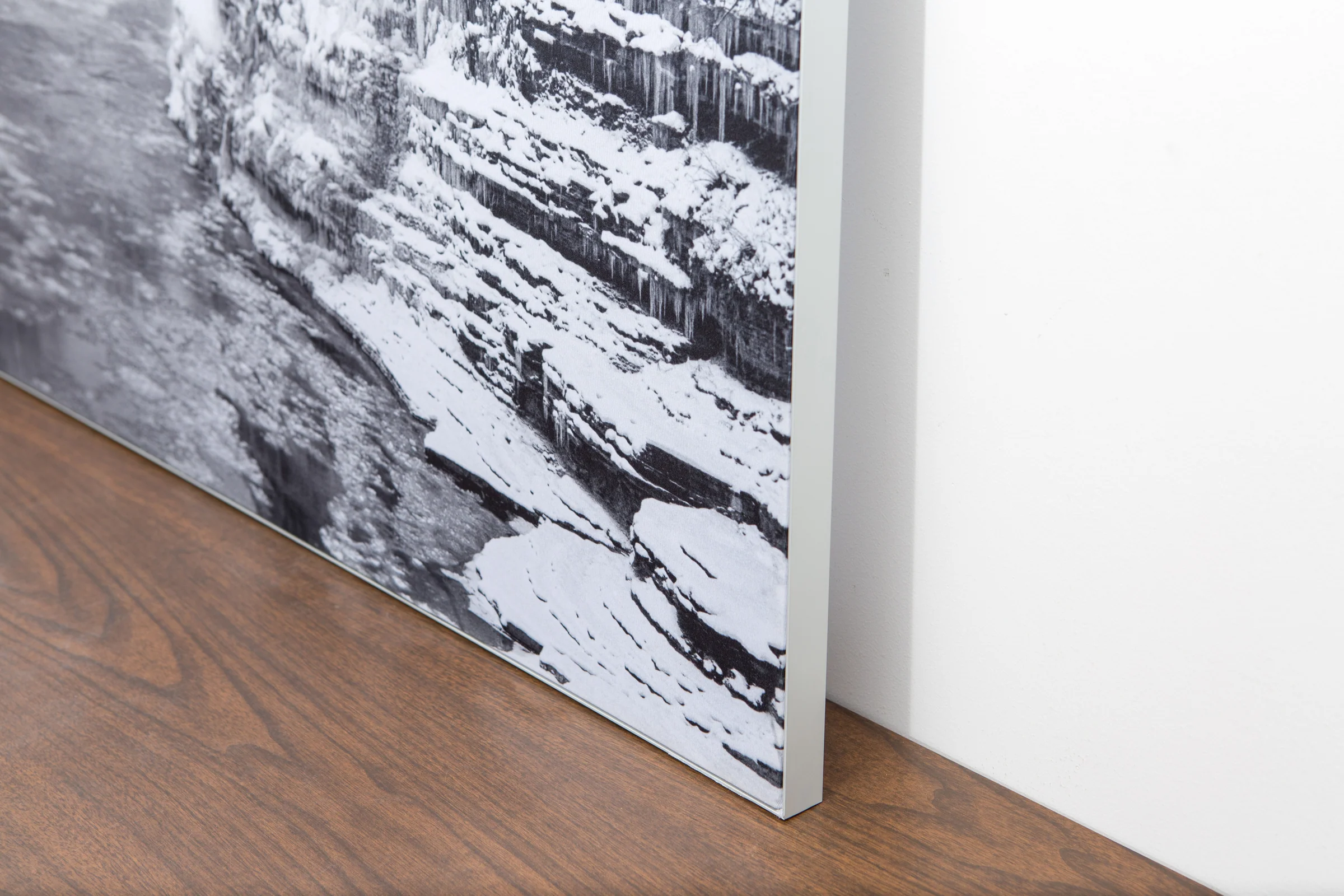
The image is printed on a durable fabric, which is stretched inside a slim aluminum frame. It’s transportable, interchangeable, and easy to assemble. Our infinity frame pieces for large sized prints will lend a “wow” factor to your space.

Better than Canvas
The colors in our fabric prints are crisp and true to life, with a matte, glare-free finish. With our printing process, the colors permeate the fabric, rather than settling on top, which reduces the risk of scratching or fading. Your art will last a long time!

Easy to Install
Assemble the frame in minutes, insert the fabric print into the grooves, and your art is ready to hang!

Statement Piece
Easy and modern way to display large art in your home or office


