More Information
This is a beautiful c. 1878 city plan or map of Paris, France by the French cartographer A. Vuillemin. Centered on the Seine River, it covers embastilled Paris as contained in the Thiers Wall. Parts of the Bois de Boulogne and the Bois de Vincennes is also included. It reflects the transformation and modernization of Paris under Napoleon III and George-Eugene Haussmann.
Known in French as the 'Grands Travauin x,' Haussmann's redesign of Paris defined it as a modern city, with narrow alleyways and confusing streets replaced by a broad network of grand boulevards, imposing facades, parks, and monuments.
Divided according to 20 Arrondisments, the map notes individual streets, monuments, churches, town halls, railways, gardens and palaces. Important and historic buildings are shown in profile. This map was drawn by A. Vuillemin and engraved by E. George.
Related Products
What our customers are saying
What is Infinity Framing?

Wow Factor
Infinity frame
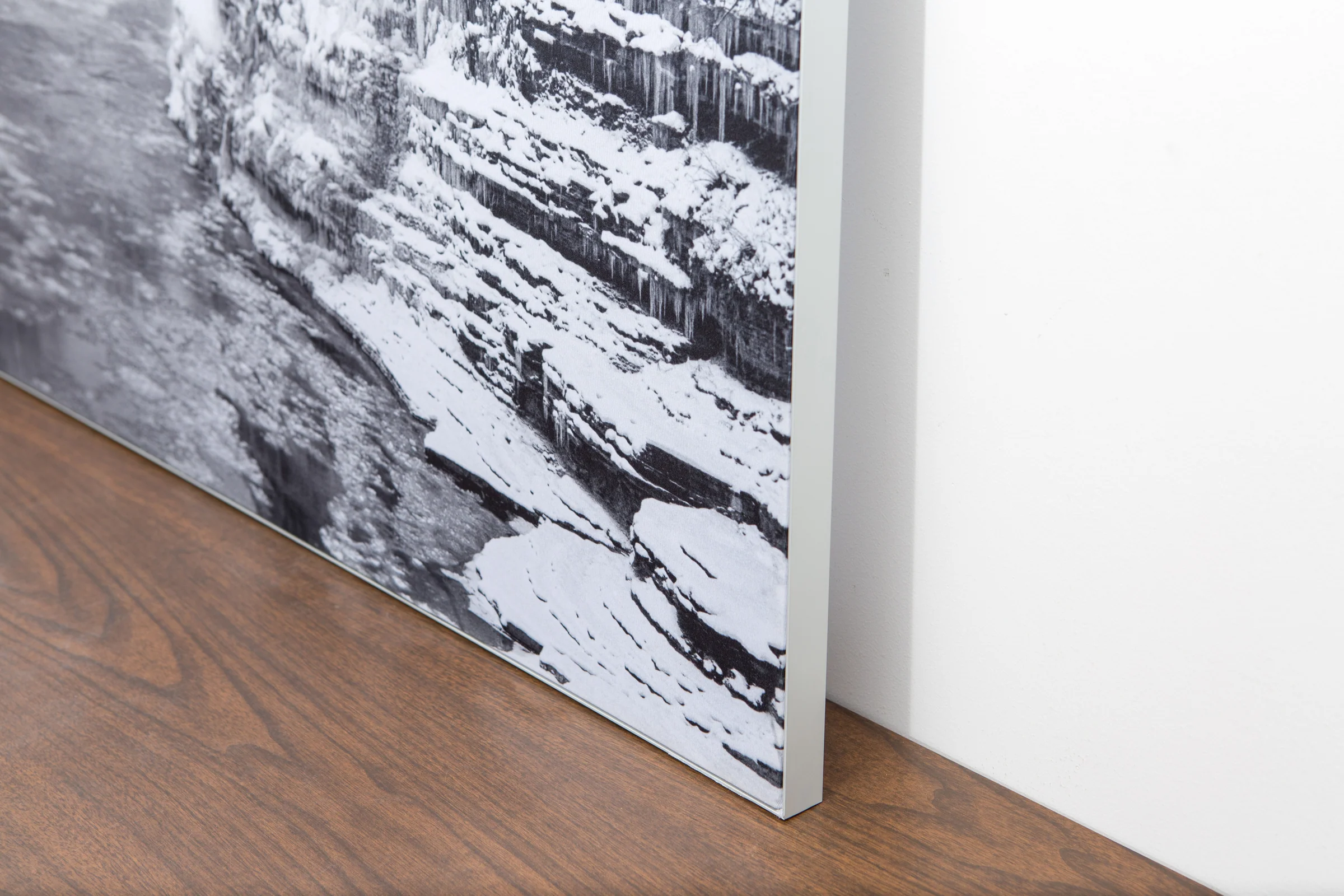
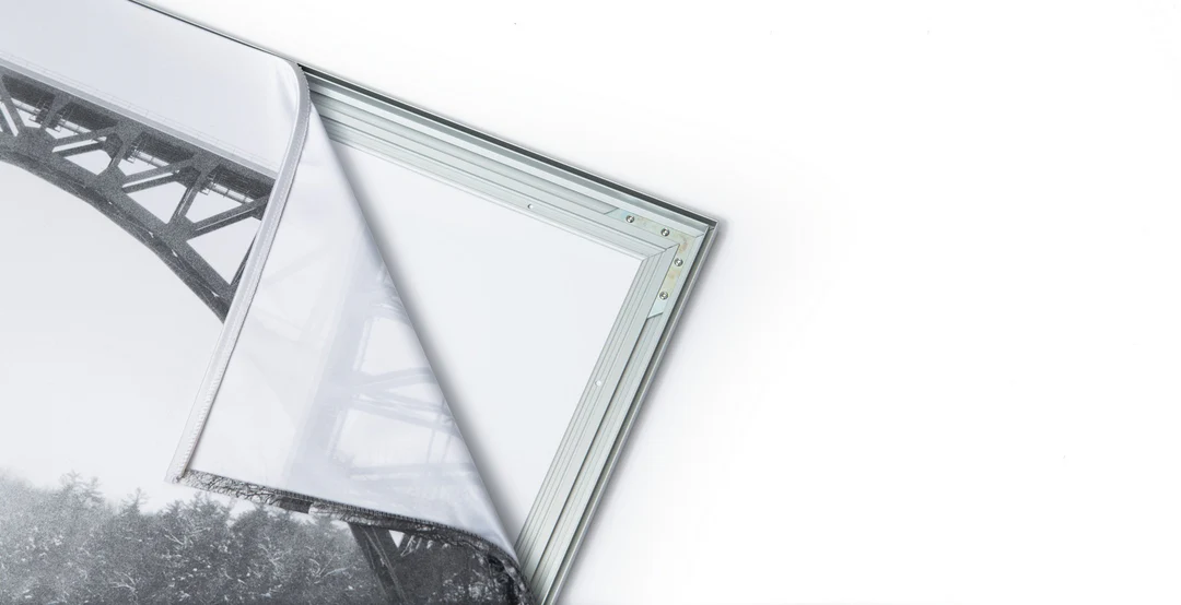
The image is printed on a durable fabric, which is stretched inside a slim aluminum frame. It’s transportable, interchangeable, and easy to assemble. Our infinity frame pieces for large sized prints will lend a “wow” factor to your space.

Better than Canvas
The colors in our fabric prints are crisp and true to life, with a matte, glare-free finish. With our printing process, the colors permeate the fabric, rather than settling on top, which reduces the risk of scratching or fading. Your art will last a long time!

Easy to Install
Assemble the frame in minutes, insert the fabric print into the grooves, and your art is ready to hang!

Statement Piece
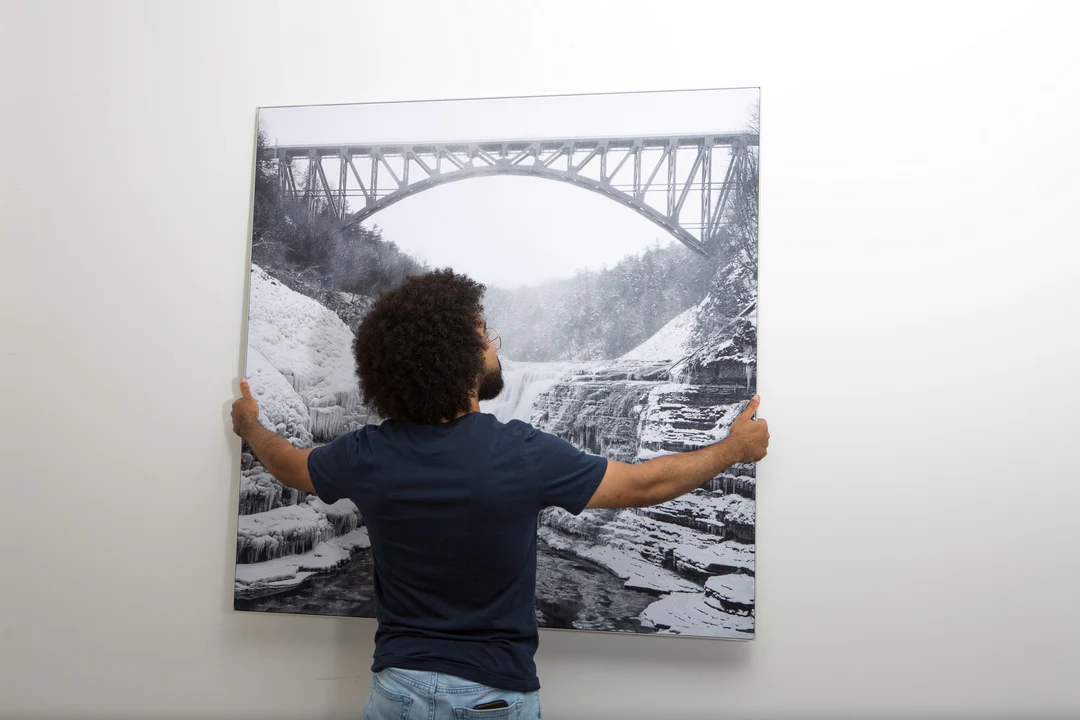
Easy and modern way to display large art in your home or office


