More Information
A rare and stunning reissue of the Des Barres famous 1777 Map of New York City and Harbor prepared for the 1864 issue of Valentine's Manual of New York. Covers from Sandy Hook northward as far as Haverstraw and the Croton River. Includes Staten Island, all of Manhattan, much of northeastern New Jersey, and Long Island as far east as Jamaica. This stunning map was originally drawn by Joseph Des Barres to illustrate British troop movements during the American Revolutionary War. Wonderful topographic detail of the entire region with depth soundings through the harbor. With the original Des Barres map all but unobtainable, this is a rare opportunity to acquire a 19th century example of this spectacular map.
Related Products
What our customers are saying
What is Infinity Framing?

Wow Factor
Infinity frame
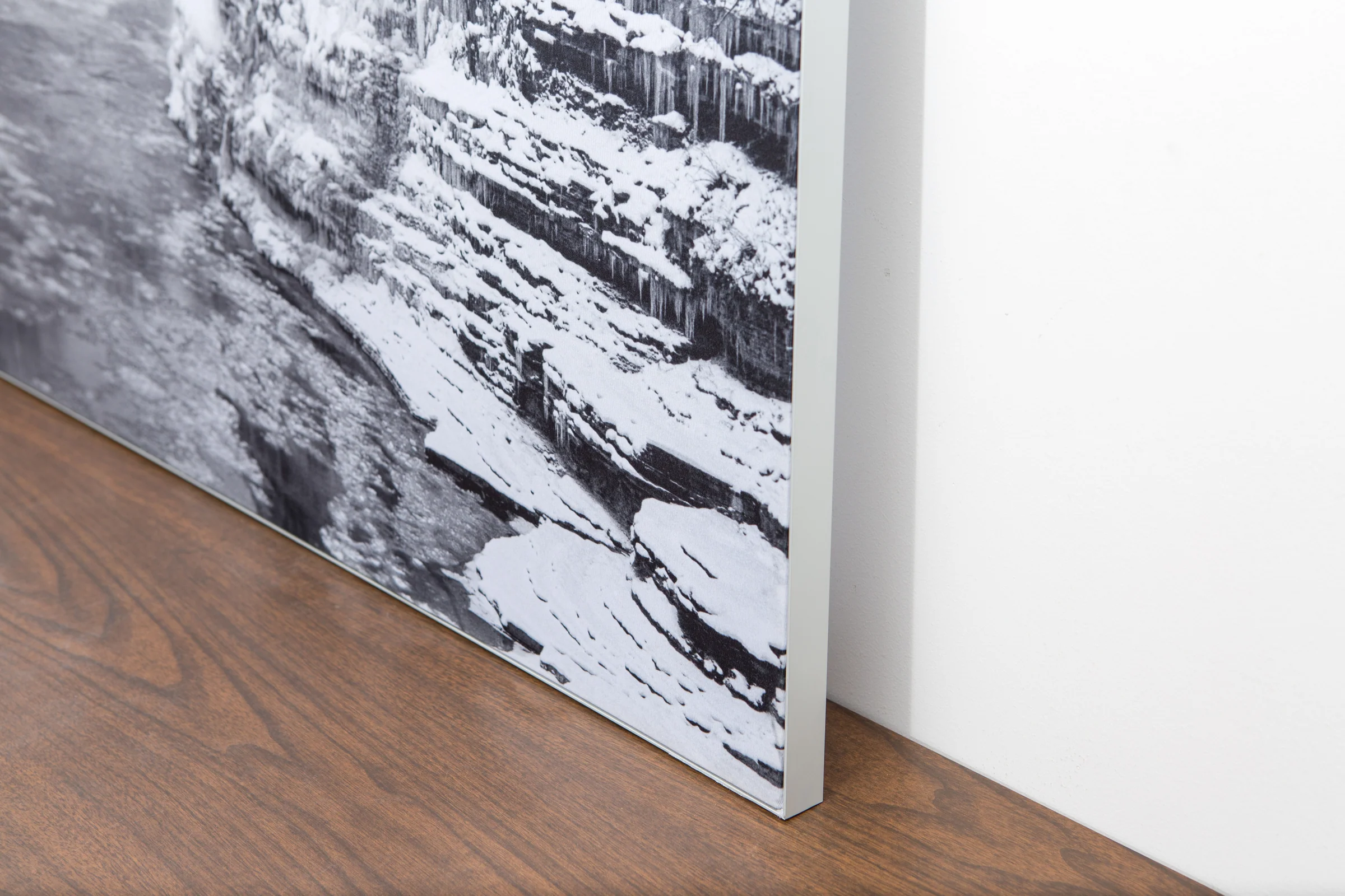
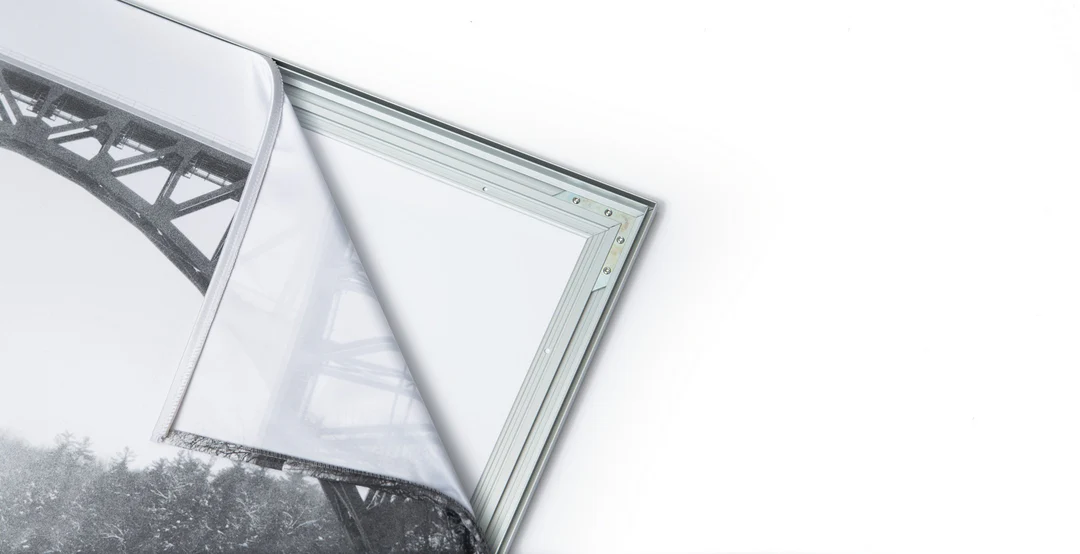
The image is printed on a durable fabric, which is stretched inside a slim aluminum frame. It’s transportable, interchangeable, and easy to assemble. Our infinity frame pieces for large sized prints will lend a “wow” factor to your space.

Better than Canvas
The colors in our fabric prints are crisp and true to life, with a matte, glare-free finish. With our printing process, the colors permeate the fabric, rather than settling on top, which reduces the risk of scratching or fading. Your art will last a long time!

Easy to Install
Assemble the frame in minutes, insert the fabric print into the grooves, and your art is ready to hang!

Statement Piece
Easy and modern way to display large art in your home or office


